Hiking the Black Butte Trail Just Outside of Sisters, Oregon
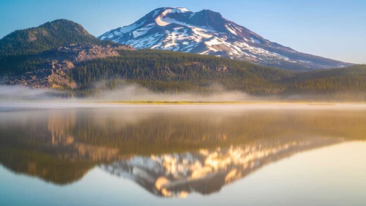
Black Butte is a well-known peak in Central Oregon. It is a conical volcano that reaches 3000 feet and rests to the east of the Cascade Mountain Range. The butte is so evident because, for the most part, it stands on its own, and the views from the top will take your breath away.
Unlike the other volcanoes in the Cascade range, Black Butte has retained its signature symmetrical cone shape.
Hiking Black Butte is a must for anyone living in or visiting Central Oregon. Not only will you be climbing this famous landmark, but you will also be able to see a vast expanse of the state stretching out before you once you reach the summit.
The Black Butte Hike
Length: 3.9 miles
Trail Type: Out and back
Difficulty: Moderate
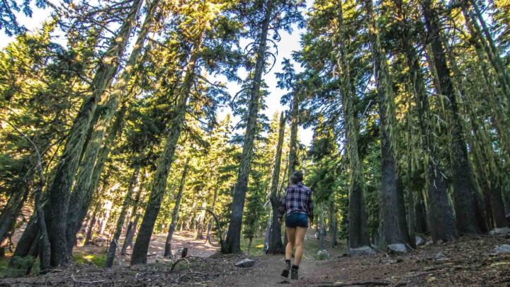
Start the Black Butte hike at the parking lot around halfway up the side of the slope. You can’t miss where to go as the path begins to head steadily uphill through a dense canopy of trees along a dirt trail.
After a while, you will come to a switchback, the only one of the hike, and the trail climbs even further. From this point, the route curls up to the summit in a counter-clockwise direction on the western and southern slopes, so you end up approaching the summit from the east.
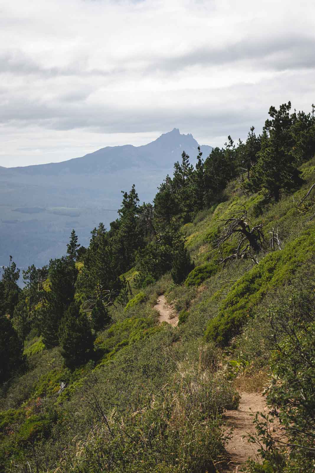
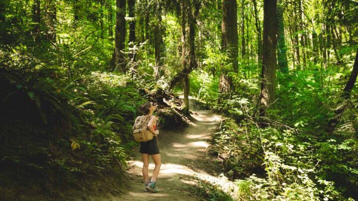
After the switchback, follow the trail for a mile, and it will emerge out of the trees and onto an open slope. Although there is no shade here, the incredible surroundings are great motivation, and you should see the summit.
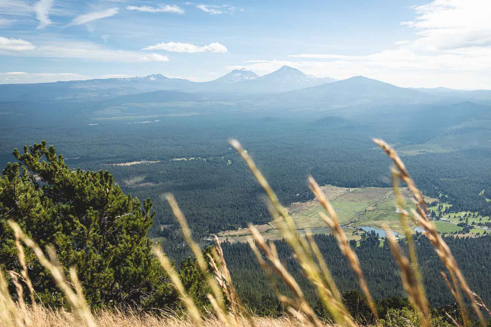
Enjoy unobstructed views as you walk from the southwestern slope, over rich green pine forests and a picturesque golf course below you.
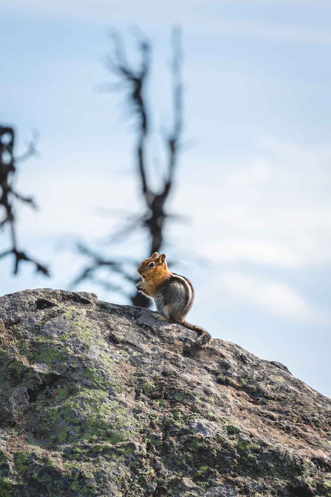
As you continue up the trail, you will reach an area burnt by a wildfire in 2009. Charred trees dominate the surroundings on the slope.
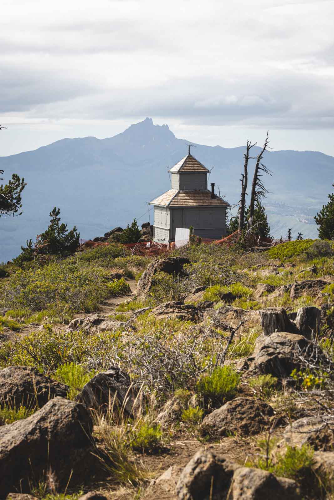
There is another path here after you have passed through the wildfire zone that leads to the lookout tower but stay to the right to continue on the Black Butte Trail.
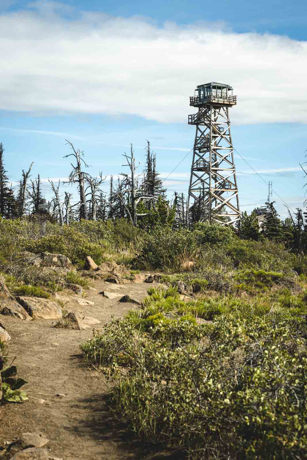
Once you have reached the summit, the trail ends in a clearing, some 1550 feet above the trailhead. An interesting interpretive sign explains the fire lookout tower that can be seen at the peak.
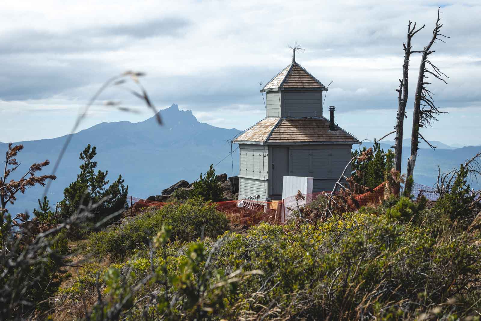
At the summit, take the main path toward the Black Butte Cupola on the northwest side to allow you to take in the views that you could not see on the climb up.
Once you have finished taking it all in, head back down the Black Butte Trail the way you came, back to the road.
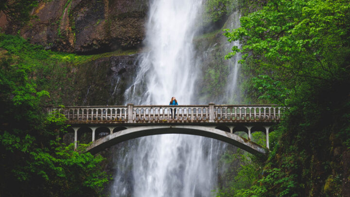
RELATED: 37 of the Best Oregon Hikes You’ve Got To Check Out
📍 GET THE ULTIMATE PNW MAP 🗺️
Get our curated list of the best adventures, things to do, and places to grab a brew loaded onto your maps with just two clicks!
✅ Waterfalls ✅ Hikes ✅ Viewpoints
✅ Craft breweries ✅ National Parks ✅ 1400+ Pins


Black Butte Hike Summit
The view from the top of Black Butte Trail is more than enough of a reward for the solid climb on the way up.
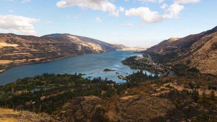
On a clear day, you’ll be able to view the landscape stretching for miles. To the north is Mt.Hood and Mt. Jefferson, and Three Fingered Jack and the Three Sisters are also visible from your lofty viewpoint.
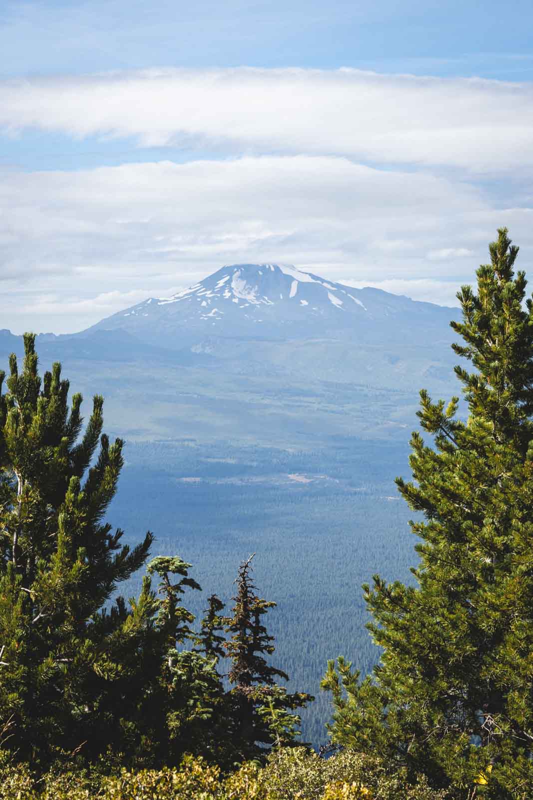
Keep your eyes peels for a sliver of blue to the northwest, Suttle Lake, and even further afield is Mount Washington, the Belknap Crater, Black Crater, and Broken Top. On a clear day, you may even be able to see into the state of Washington and Mount Adams, a huge 125 miles away.
Because of the clear, 360 degree views, it is an ideal site for fire lookout towers, so it is hardly surprising that you will find one at the summit.
RELATED: 17 Hikes Around Bend, Oregon to Conquer
How To Get To the Black Butte Trail
Black Butte is easy to reach as it is located around 9 miles from the town of Sisters. To get the start of the trail, you have to take the road built up the butte in the 1960s. The trail begins at the end of this road.
Note that the last few miles of the drive to the trailhead can be a bit bumpy and rough. You may have to extend your hike if your car doesn’t make it all the way up this rocky section of the road.
RELATED: 12 Awesome Things To Do in Sisters, Oregon
Tips for the Black Butte Hike
- Although the Black Butte Trail is free, you will have to pay to park here as a Northwest Forest Pass is required.
- In the summer months, this trail can get pretty hot and dusty, so be sure to wear proper footwear and bring enough water.
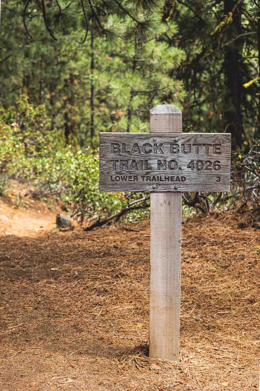
- If you are up for more of a challenge, you could also start the hike at the Lower Trailhead that begins just off Highway 20. From here, it is double the length and vertical gain.
- At the top of the Black Butte hike, stay on the marked trails so you can avoid damaging the fragile ecosystem.
- You can’t go inside the fire lookout or the cupola; you may only explore outside of them.
More Hiking in Oregon
We hope this helped you plan your trip but don’t leave yet! There’s more to see in Central Oregon and more adventures in Oregon to be had.