This Oregon canyon is named for an accused cattle rustler who dared lightning to strike him, and two days later it did
Most canyons get named for a river, a rock, or whoever filed the homestead claim. Leslie Gulch got its name from a man who swore to God he wasn’t a cattle thief, then got struck by lightning two days later.
That’s the kind of place this is. Tucked into Oregon’s far southeast corner, Leslie Gulch is a slot of honeycombed orange and rust-colored spires that looks like it wandered up from southern Utah and forgot to leave.
Is it a long drive? Yes, and every mile of it is worth it!
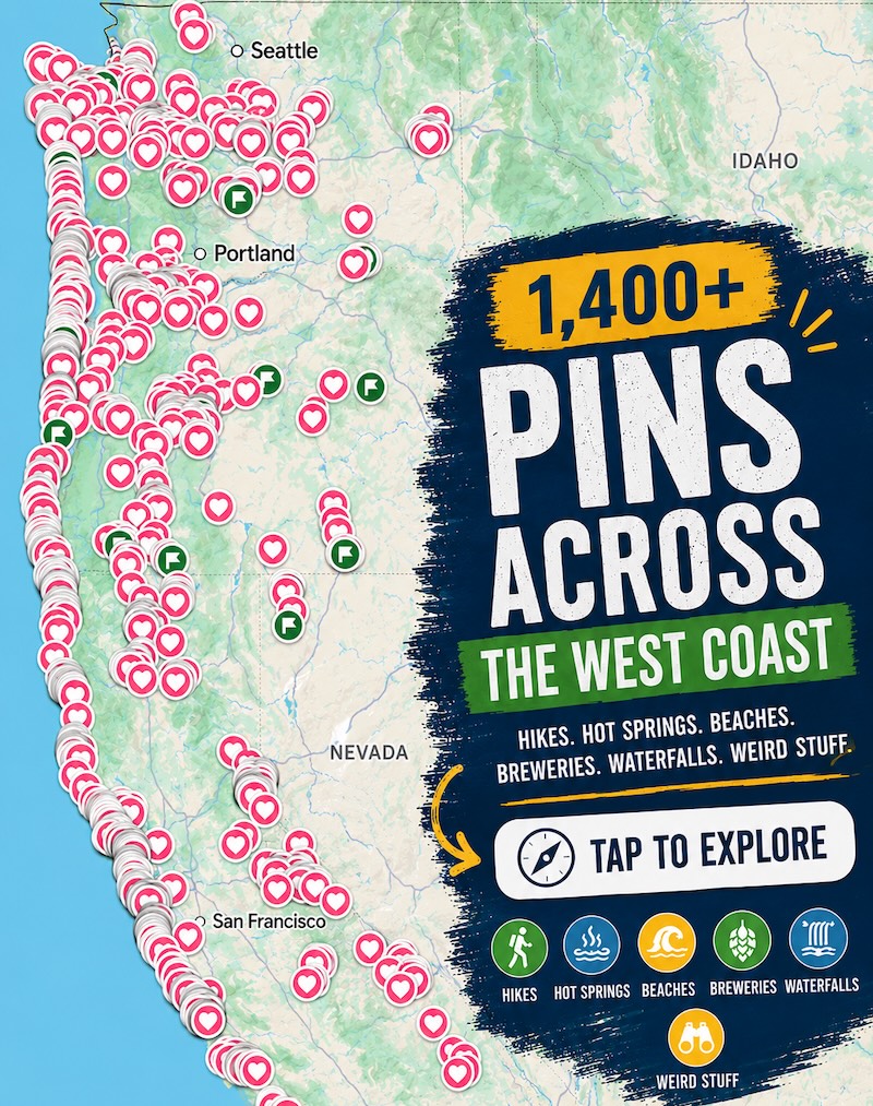
Psst, we made you a West Coast Adventure Map. Nearly 1,900 of our favorite spots, already pinned, ready to load into Google Maps in two clicks. Grab it here.
The lightning story behind the name
Back in May 1882, this canyon was called Dugout Gulch. Hiram Leslie, a cattleman and photographer from Silver City in what was then Idaho Territory, was accused of rustling his neighbors’ cattle. According to local legend recounted by the Bureau of Land Management, he told friends that if he was guilty, the Lord could strike him dead on the spot.
Two days later, a thunderstorm rolled in while he was moving cattle through the gulch, and lightning hit him. He didn’t die right away. A doctor took about 36 hours to arrive, and Leslie died back in Silver City on May 31.
The canyon has carried his name ever since. Guilty or not, that’s one way to make it onto a map.
📍 GET THE ULTIMATE PNW MAP 🗺️
Get our curated list of the best adventures, things to do, and places to grab a brew loaded onto your maps with just two clicks!
✅ Waterfalls ✅ Hikes ✅ Viewpoints
✅ Craft breweries ✅ National Parks ✅ 1400+ Pins


What you’re actually driving into
Those wild towers are carved from the Leslie Gulch Tuff, a volcanic ash rock that wind and water have hollowed into caves, pockmarks and pinnacles. The road squeezes between the walls, and around every bend there’s another spire that looks like it’s about to tip over (it isn’t).
The BLM protects about 11,000 acres here as an Area of Critical Environmental Concern. Two rare plant species grow in the Leslie Gulch drainage and nowhere else. More than 200 California bighorn sheep live in these cliffs too, descended from a herd reintroduced in 1965, so keep scanning the ledges.
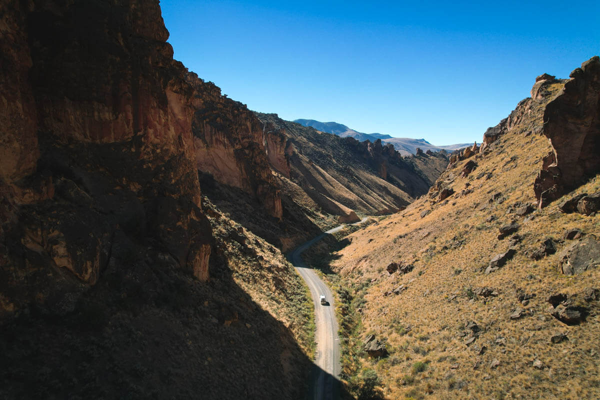
People lived out here once, too. The original road was a wagon and mail route to a town called Watson, which now sits at the bottom of the Owyhee Reservoir. A homesteading family, the Dutchers, moved into the gulch in 1917 and stuck it out for a decade.
Two hikes worth your legs
If you only do one trail, make it Juniper Gulch. It’s 3.3 miles out and back with 1,017 feet of climbing, rated moderate, and it starts in a shady creek bed before the real climb kicks in around the halfway point. Up top, you get big views over the whole gulch and a close look at the honeycomb formations.
Our tip: take the left fork at the first split. The right side works too, but it’s a windier, more up-and-down route.
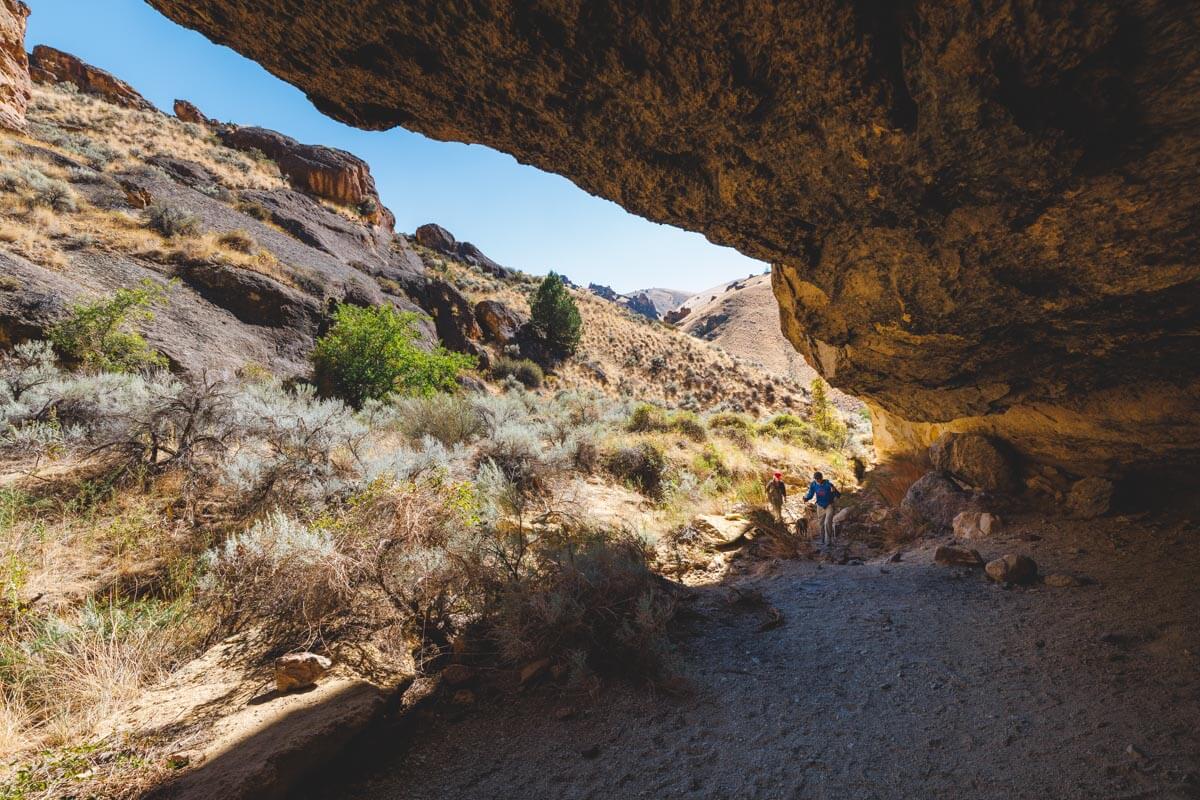
Got more time? Upper Leslie Gulch runs 4.2 miles out and back with 757 feet of gain, also moderate. Much of it follows a dry creek bed with hoodoos stacked on both sides.
We break down all four main trails in our full Leslie Gulch guide.
One thing not to shrug off: these canyons are prone to flash floods, and the BLM warns about rattlesnakes, ticks and extreme weather. If rain is in the forecast, save the side canyons for another day.
Sleep at the bottom of the canyon
Slocum Creek Campground sits in a side canyon near the mouth of the gulch, close to the Owyhee Reservoir. There are nine sites, no fees, and a 14-day stay limit. Bring every drop of water you need, because there isn’t any on site.
It’s also the only game in town. Camping and campfires are allowed only at Slocum Creek, and overnight backpacking isn’t allowed anywhere in the protected area. The payoff is sunrise and sunset, when the rock walls around camp light up like they’re on fire.
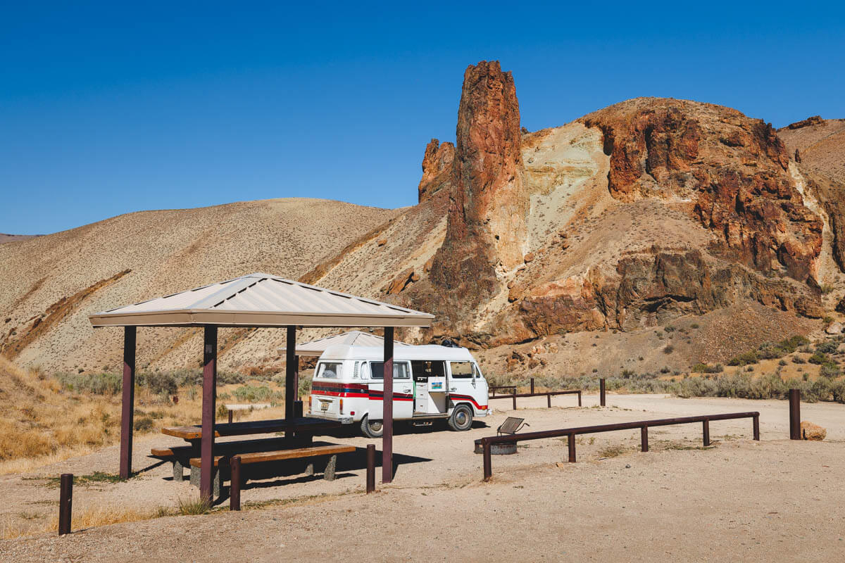
Leslie Gulch is also a natural stop on a bigger Owyhee Canyonlands trip, since the reservoir is right there for paddling.
Getting there, and why we’d go in fall
The BLM’s route starts on US-95 on the Idaho side. Head west 8 miles on McBride Creek Road to Rockville, go 1 mile north to Leslie Gulch Road, then drive 15 miles west into the canyon. You can also come in on Succor Creek Road, which passes right through Succor Creek State Natural Area on the way.
It’s gravel, and the BLM recommends high-clearance vehicles because flash floods, wet roads and winter conditions can make it impassable. Big RVs aren’t recommended either. Fill the tank and pack your food before you leave pavement, and Jordan Valley makes a good add-on stop.
As for timing, summer out here gets seriously hot, and those exposed climbs don’t offer much relief. Our pick is a dry fall weekend, when the light goes golden on the spires and you can actually enjoy the hike instead of hunting for shade.
Trip tips: grab a rental car to get out here, lock in your hotel before the good rooms are gone, or skip both and book a camper van and wake up at Slocum Creek instead.
Would you drive 15 miles of gravel to camp under a canyon named for a lightning strike? Tell us which trail you’d hit first.
Rules and fees change — always confirm current requirements before you go.