This Oregon lake swallowed a forest 3,000 years ago, and you can still see it standing
Most lakes hide whatever’s underneath them. Clear Lake does the opposite — its water is so transparent you can look straight down from a kayak and see a forest that’s been standing on the bottom for 3,000 years.
A lava flow out of the Sand Mountain volcanic field dammed the McKenzie River right here, and the rising water drowned the pine forest that lined its banks. The cold, steady temperature kept the wood from rotting, so those trees are still rooted in place today, some more than 100 feet down.
Psst — we made you a West Coast Adventure Map. Nearly 1,900 of our favorite spots, already pinned, ready to load into Google Maps in two clicks — grab it here.
Clear Lake is also the actual headwaters of the McKenzie River. Snowmelt filters through underground lava caverns for more than 20 years before it resurfaces here at the Great Spring, and that same filtered water is what Eugene draws its drinking supply from.
Summer is the best window to see all of this. The trail stays snow-free from roughly March through October, and long July days leave plenty of daylight to paddle, hike the loop, and still make it to the falls before dinner.
The hike, if you want one
A loop trail circles the entire lake — 4.5 miles with 262 feet of elevation gain, easy enough for most hikers, and dog-friendly on leash. Plenty of AllTrails reviewers clock closer to 6 or 7 miles depending on which trailhead they start from, so don’t be surprised if your phone disagrees with the sign.
The loop also ties into a much longer trail that follows the river for miles past a couple of the McKenzie corridor’s other famous stops — more on those below. Most people driving Highway 126 blow right past Clear Lake on their way to the blue pool everyone’s seen online, and that’s a mistake: that pool gets you one photogenic stop, Clear Lake gets you an entire drowned forest and noticeably fewer people fighting you for a parking spot.
📍 GET THE ULTIMATE PNW MAP 🗺️
Get our curated list of the best adventures, things to do, and places to grab a brew loaded onto your maps with just two clicks!
✅ Waterfalls ✅ Hikes ✅ Viewpoints
✅ Craft breweries ✅ National Parks ✅ 1400+ Pins


Skip the wetsuit, grab a paddle instead
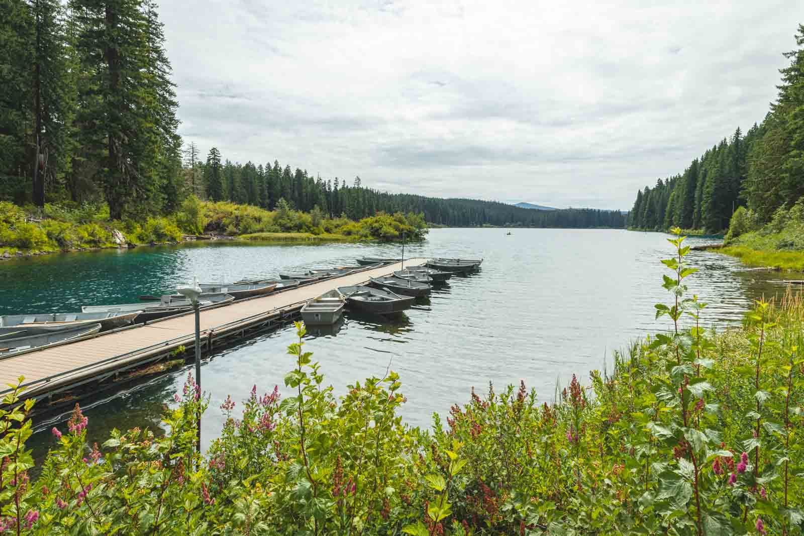
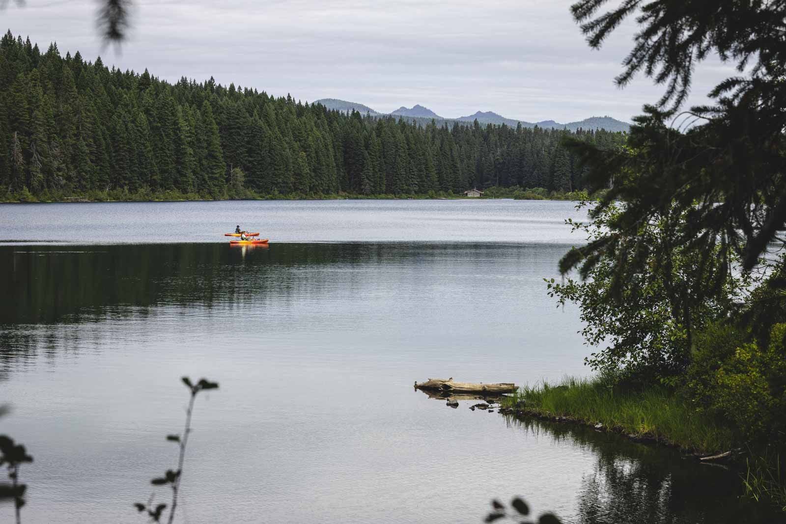
The water sits at a steady 35 to 43 degrees year-round, which rules out swimming for anyone who isn’t training for a polar plunge. Paddling solves that problem completely — no motorized boats are allowed on the lake, so a rented kayak or rowboat from Clear Lake Resort gets you a silent, glassy view straight down into the sunken forest without ever getting wet.
Osprey and bald eagles work the shoreline, and native cutthroat trout share the water with rainbow and brook trout for anyone who packed a rod. My take: the view from a kayak beats diving gear here — you see almost everything that matters, and you stay warm doing it.
Getting there and where to camp
Clear Lake Day Use Area charges $10 per vehicle, though a Northwest Forest Pass covers it too. From McKenzie Bridge, it’s an 18-mile drive east on Highway 126, and the area stays open year-round from 6 a.m. to 10 p.m.
Coldwater Cove Campground sits right on the lake’s east end and runs from late May through mid-October, making it one of the easiest basecamps for a whole McKenzie corridor weekend. From here, the McKenzie River Trail keeps going for another 26 miles past Sahalie and Koosah Falls and the Tamolitch Blue Pool, if you want to turn this into a bigger day.
Trip tips: grab a rental car to make the Highway 126 drive, lock in a hotel in McKenzie Bridge or Sisters before summer weekends book up, or skip the room search and reserve a camper van instead — Coldwater Cove fills fast in July.
Rules and fees change — always confirm current requirements before you go.