

Multnomah Falls Hike: EVERYTHING You Need to Know
I’ve been going to Multnomah Falls since I was a kid, and it still gets me every time.
It’s Oregon’s tallest waterfall, it’s only about 30 miles from downtown Portland, and you can see it without hiking at all. Or you can turn it into a 5-mile loop with five more waterfalls. Your call!
Here’s how to pick the right Multnomah Falls hike, plus the short version on parking.
📌 BEFORE YOU GO: Summer timed parking permit for the main lot • Base viewing deck is wheelchair accessible • Top of the falls is 2.4 miles round trip • Six-waterfall loop is about 5 miles
🏨 STAY NEARBY: Troutdale (closest) | Hood River (more to do) | Portland
About Multnomah Falls
In a state where waterfalls are basically everywhere, Multnomah still stands out. It drops 620 feet in two tiers: a 542-foot upper fall and a 69-foot lower fall. That makes it the tallest waterfall in Oregon.
It’s fed by springs, rain, and snowmelt, so it flows all year. No bad season to see it!

That famous bridge between the two tiers is Benson Bridge, named for Simon Benson, the Portland businessman who paid for it. It’s the best view in the house, and depending on the wind, you might get a free waterfall shower.
At the base sits the historic Multnomah Falls Lodge, built in 1925. It has a restaurant, a snack bar, a gift shop, and a Forest Service visitor center.

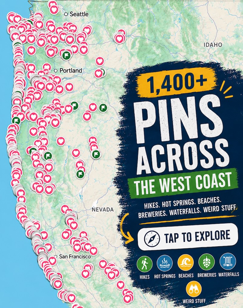
📍 GET THE ULTIMATE PNW MAP 🗺️
Get our curated list of the best adventures, things to do, and places to grab a brew loaded onto your maps with just two clicks!
✅ Waterfalls ✅ Hikes ✅ Viewpoints
✅ Craft breweries ✅ National Parks ✅ 1400+ Pins


Multnomah Falls Hikes: Pick Your Option
There are four ways to do this, depending on how deep you want to go. Spoiler: #4 is our favorite.
1. Just See the Falls (No Real Hike)
Park, walk up, done. The lower viewing deck gives you the classic shot of both tiers and the bridge. It’s the busiest spot, but there’s plenty of room for everyone.

Even if you don’t love walking, do the short climb to Benson Bridge. It’s only about 0.2 miles, uphill the whole way, but you’ll be way closer to the upper falls and looking down on the lower one.

2. Hike to the Top of Multnomah Falls
- Distance: About 2.4 miles round trip
- Trail type: Out and back, paved
- Difficulty: Moderate (it’s ALL uphill)
Cross Benson Bridge and keep climbing up the switchbacks of the Larch Mountain Trail to a viewing platform right at the lip of the falls. Our calves were burnin’!

As with most “top of the waterfall” views, you can’t see much of the falls themselves. But looking straight down 600+ feet, with the Gorge stretched out in front of you, is a trip. And the crowds thin out a LOT once you’re past the bridge.
3. Multnomah Falls to Ecola Falls (4 Waterfalls)
- Distance: About 3.2 miles round trip
- Trail type: Out and back
- Difficulty: Moderate
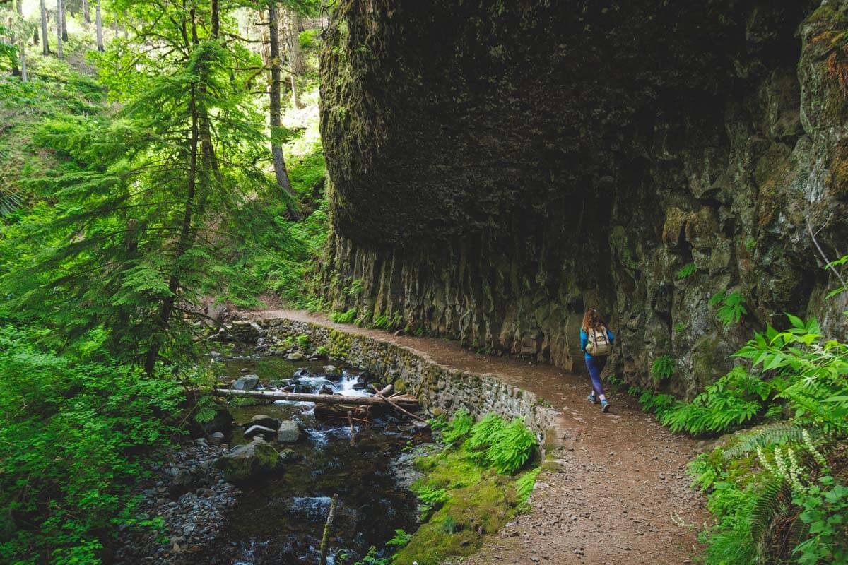
Here’s what most people miss: there’s a whole string of waterfalls hiding above Multnomah. Past the top viewpoint, the pavement ends and the trail follows Multnomah Creek through a little canyon.
- Dutchman Falls: A few small cascades right along the trail.
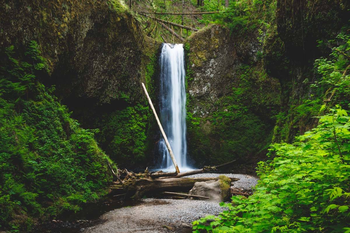
- Weisendanger Falls: About 50 feet, with a pebbly spot near the base that makes a perfect snack stop.
- Ecola Falls: About 55 feet, and you mostly see it from above. That’s your turnaround point.
🏨 Need a place to crash nearby?
From rustic cabins to boutique inns—check prices and availability in just a click.
4. Multnomah-Wahkeena Loop (Our Favorite!)
- Distance: About 5 miles
- Trail type: Loop
- Difficulty: Moderate, with about 1,600 feet of climbing
If you take one piece of advice from this post, do this loop. You get Multnomah, Dutchman, Weisendanger, and Ecola Falls, then you cross over to the Wahkeena side for Fairy Falls and Wahkeena Falls. That’s six waterfalls, plus creeks and Gorge views, with no backtracking.

How it goes:
- Start at the Multnomah lower viewing deck and climb past Benson Bridge to the top of the falls.
- Follow Multnomah Creek upstream past Dutchman, Weisendanger, and Ecola Falls.
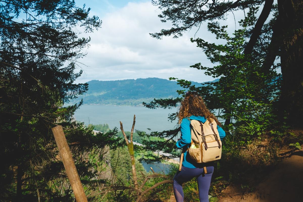
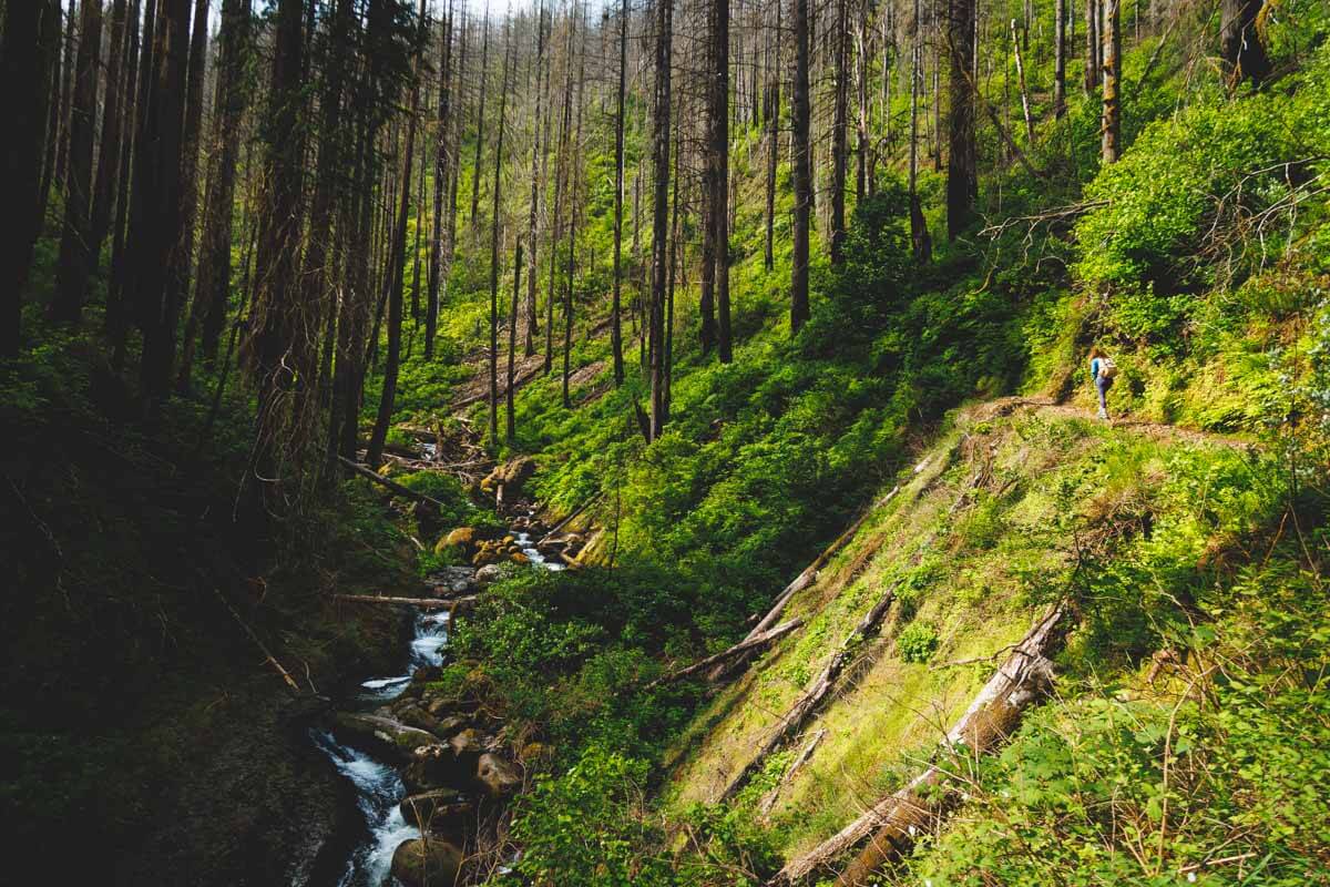
- Cut west through the forest toward the Wahkeena side. This stretch is shady and quiet, with big views of the Gorge.
- Hit Fairy Falls, a 20-foot fan of water spreading over the rocks. So pretty.
- Head down to Wahkeena Falls, then follow the trail along the highway back to Multnomah.
Start early. The first stretch up to the top of Multnomah is packed, but the crowds disappear fast once you’re past it.

👉 DON’T WANT TO DRIVE? Book a Columbia Gorge waterfall tour from Portland
Bonus: Wahkeena Falls
Don’t want the full loop? Wahkeena Falls is just west of Multnomah, and it’s a totally different vibe. It tumbles 242 feet in a wild, splashy cascade instead of one clean drop.
Parking at Wahkeena is tiny, so most people leave the car at Multnomah and walk the trail along the road. From the stone viewing bridge at the base, you can keep climbing switchbacks to Fairy Falls, then turn around.

Short on time? See Multnomah from the deck, then walk over to the base of Wahkeena. You’ll see the two best waterfalls in the Gorge with barely any hiking.
Multnomah Falls Parking and Permits
Parking is the part that trips people up. Here’s the short version:
- Main lot (I-84, Exit 31): Free, but it fills early. From late May to early September, you need a timed permit to park here between 9 a.m. and 6 p.m. Book a slot on Recreation.gov ($2 reservation fee), or grab one of the limited free permits at the Gateway to the Gorge Visitor Center in Troutdale or the Cascade Locks Historical Museum.
- Lodge lot (Historic Highway): Tiny, privately run, and paid. Don’t count on it in summer.
- Skip the car: The Columbia Gorge Express bus stops right at the falls (schedule here). Or let someone else handle it with a self-guided e-bike tour or a waterfall shuttle tour that hits several falls and Crown Point.

👉 AVOID THE HASSLE OF PARKING:
Best Time to Visit Multnomah Falls
- Winter: The fewest crowds, and the falls can look magical when they ice up. But the trail to Benson Bridge and beyond can close when spray freezes on the path.
- Spring: Peak flow and bright green everything. Busier, but nothing like summer. Still chilly, so layer up.
- Summer: Best weather, biggest crowds, and you’ll need that timed permit to park at the I-84 lot.
- Fall: Crowds thin, no permit needed after early September, and golden leaves frame the falls. Lower flow, but still gorgeous.
Any time of year, go early on a weekday if you can. It’s one of the most visited spots in Oregon, so anything you can do to dodge the crowds helps.
Tips for Visiting Multnomah Falls
- Check alerts first: Trails, restrooms, and other facilities sometimes close for ice, rockfall, or repairs. Check the Forest Service page before you go.
- Bring water and layers: The climb warms you up fast, but the spray zone is cold.
- Wear real shoes for the loop: Past the top of Multnomah, the trail turns to dirt, rocks, and roots.
- Visitor center hours are short: The Forest Service desk in the lodge keeps limited daytime hours.
- Make a day of it: Latourell, Bridal Veil, and Horsetail Falls are all close by on the Historic Highway.
🕒 Save hours of planning time! ⛰️
📍 Get The Ultimate West Coast Map
1400+ breweries, trails, waterfalls, beaches, and weird roadside stops—mapped for you!
Where to Stay Near Multnomah Falls
Troutdale is the closest town on the Portland side and right at the start of the Historic Highway. Hood River is further east but way more fun, with breweries, wind sports, and the Fruit Loop. Or just day trip from Portland.
👉 Where to Stay Near Multnomah Falls
Final Thoughts
Multnomah Falls is a must, even if you only have 20 minutes. But if you’ve got half a day, do the Multnomah-Wahkeena loop. Six waterfalls in five miles is hard to beat anywhere.
Just sort out your parking (or skip it) before you go, especially in summer.
Read more guides on the Columbia River Gorge:
- 17+ Must-Visit Columbia River Gorge Waterfalls
- 17 Amazing Spots to Go Camping on The Columbia River Gorge
- Best Columbia River Gorge Hikes
- 17 Waterfalls Near Portland (#10 and #14 Are INSANE!)
- Multnomah Falls Hike: EVERYTHING You Need to Know
- Elowah and Upper McCord Creek Falls Trail
- Wahkeena Falls: 2 Trails to Choose From!
We hope this helped you pick the right Multnomah Falls hike!

thank you
we did the hike from Larch mountain down, it’s about 7 miles, I think, but all downhill. You need to have 2 cars.
Thanks for all the info! Greatly appreciated!
Have a fun trip Katy!