A woman hit 512 mph on this Oregon lakebed in 1976, and you can still drive onto it for free
In December 1976, stuntwoman Kitty O’Neil climbed into a car on a dry lakebed in southeastern Oregon and hit 512.7 miles per hour. It smashed a women’s land speed record that had stood since 1965.
That lakebed is the Alvord Desert, and nobody’s stopping you from driving onto it today. Same pale, flat-as-a-table clay, same ridiculous horizon, just at a much calmer pace.
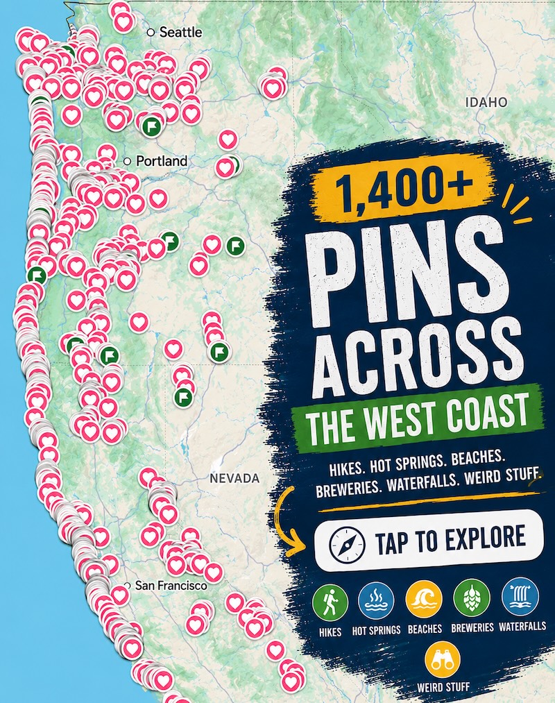
Psst — we made you a West Coast Adventure Map. Nearly 1,900 of our favorite spots, already pinned, ready to load into Google Maps in two clicks — grab it here.
An 11-mile-long dry lake
The playa runs about 11 miles long and six miles wide, a clay-bottomed leftover from a prehistoric lake. It sits at the foot of Steens Mountain, which blocks enough moisture to keep this whole basin parched.
Stand in the middle and the mountains look like a painted backdrop. The only things moving are wind, dust, and the occasional land sailor skimming across the flats.

📍 GET THE ULTIMATE PNW MAP 🗺️
Get our curated list of the best adventures, things to do, and places to grab a brew loaded onto your maps with just two clicks!
✅ Waterfalls ✅ Hikes ✅ Viewpoints
✅ Craft breweries ✅ National Parks ✅ 1400+ Pins


Why fall is the window to go
The Bureau of Land Management puts the ideal driving season at June through November, when the playa is usually dry enough for vehicles. Early October is a sweet spot: the summer heat has eased, though the nights get cold and the wind can be fierce.
Here’s the one rule that matters: do not drive on it wet. The surface is fine clay that turns slick when damp, and what looks harmless can become mud that traps a vehicle — in a place where recovery gets expensive fast.
If the surface looks even a little damp, park and walk it instead, and call the BLM Burns District Office at 541-573-4400 for current conditions. Keep your tires on the playa itself, too, since the surrounding dunes are nesting habitat for birds.

Getting out there
The Alvord sits roughly 65 miles southeast of Burns on Highway 78, then about 40 miles southwest on East Steens Road. Fields, the nearest town, is around an hour away and has a motel, an RV park, a store, and a café.
Everything else is on you. There’s no entrance fee, but there’s also no drinking water, no cell service, and just one vault toilet, at Frog Springs. Pair the drive with the Steens Mountain loop if you’ve got a second day.
Camp here once
There are no designated campsites, so you pitch wherever the BLM land lets you. Here’s my one firm opinion: stay for sunset. When the light drops behind Steens and the clay turns copper, the drive out here pays for itself.
We’ve pitched a tent out here ourselves, and the main lesson is to stake everything down, because the wind does not negotiate. Pack out every scrap of trash, and use the Frog Springs toilet or carry a WAG bag, since you can’t bury waste on an ancient lakebed.

Want to soak afterward? Alvord Hot Springs sits along the playa’s western edge, so check ahead for current hours and pricing, and browse our roundup of Oregon hot springs for more.
Trip tips: grab a rental car to get out here, lock in your hotel in Burns before the good rooms are gone, or skip both and book a camper van instead.
Rules and fees change — always confirm current requirements before you go.
Would you floor it across the playa, or just lie in the dirt and watch the sky like the rest of us?