Portland’s only state park nearly became a subdivision in 1969, and now most cars need a permit just to park in what got saved
Portland’s only state park almost wasn’t a park. In 1969, the northern half of this canyon was slated to become houses, and it took a scrappy neighborhood nonprofit, plus the state stepping in with its checkbook, to stop that from happening.
Multnomah County had already bought the first 45 acres that year, and a group of neighbors calling themselves Friends of Tryon Creek Park formed that June to raise money for the rest. They came up short on that threatened northern stretch, so they appealed to the state instead, and the state said yes.
The park became official on October 26, 1970, though it took volunteers another five years of building trails, a shelter, and a small nature center by hand before the state held a formal dedication on July 1, 1975.
The creek’s namesake, Socrates Tryon, sold this land to a logging company back in 1874. A century and a half later it’s 658 acres of protected forest fifteen minutes from downtown Portland — the only Oregon state park sitting inside a major metro area. He’d probably call that a plot twist.

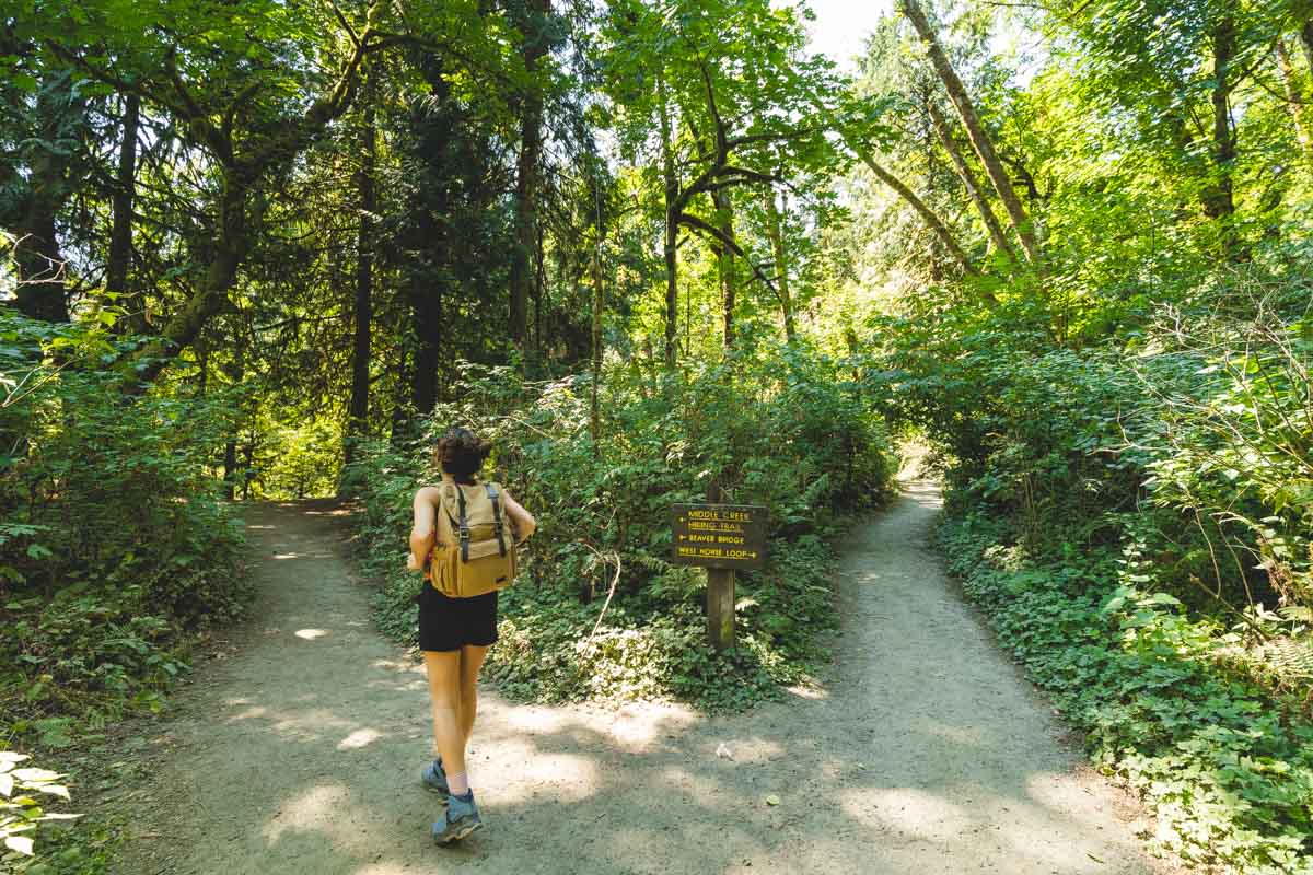
Inside, eight miles of hiking trail wind along the creek through bridges and boardwalks, with separate paths set aside for horses and cyclists. None of it climbs like a mountain. This is a canyon walk, not an alpine slog, and that’s exactly the point on a gray fall weekday when you want trees without fighting for a parking spot.
The easiest option is the Ruth Pennington Trillium Trail, a paved third-of-a-mile loop level enough for wheelchairs and strollers, with benches if you just want to sit under the canopy for a minute. Want more? A loop through the Old Main, Red Fox, Cedar, Middle Creek, and Maple Ridge trails covers close to two miles with about 150 feet of gentle climbing — the sweet spot for most visits.
Going for the whole park instead? The outer loop runs roughly 5.7 miles with around 630 feet of elevation gain. Nothing technical — just steady up-and-down through second-growth forest that’s had more than six decades to recover since the last logging here ended in 1961.
This is the fall color spot Portland keeps sleeping on while everyone drives two hours to the Gorge. Portland’s bigleaf maples — the same trees filling this canyon’s canopy — usually hit peak color in the last two weeks of October, and you won’t fight Multnomah Falls-level crowds to see it happen.
The nature center near the main entrance runs daily from 9 a.m. to 4 p.m., though hours can shift depending on volunteer staffing, and it’s worth a stop before you hit the trail. We’ve mapped out every junction and program in more detail in our full guide to the park.
Here’s what a lot of the trip-planning advice floating around online still gets wrong: parking here isn’t free anymore. Oregon State Parks started charging at Tryon Creek on October 1, 2025, as part of a statewide push to close a projected budget shortfall, and plenty of older guides still list it as a free lot.
A day permit runs $10 for Oregon residents and $12 for everyone else, buyable online or from the kiosk at the main lot. Frequent visitors can grab a 12-month permit for $60 (residents) or $75 (non-residents) instead, and walking, biking, or busing in still costs nothing at all.
One thing worth knowing: neither the NW Forest Pass nor the America the Beautiful Pass covers this fee. Tryon Creek is a state park, not a national forest or national park site, so you’ll need the Oregon day-use permit or annual pass specifically, not one of those two.
Trip tips: grab a rental car to get across town or in from the airport, and if you’re turning this into a longer Portland weekend, lock in your hotel before the fall color crowds catch on.
Rules and fees change — always confirm current requirements before you go.