Oregon’s highest tides of the year arrive Thanksgiving week, and you can help scientists just by taking a photo
Picture the ocean climbing so high that Depoe Bay’s seawall starts launching seawater onto Highway 101. That’s king tide season on the Oregon coast, and this year the first round lands right on top of Thanksgiving.
Even better? You don’t have to just stand there and watch. A statewide project wants your photos of exactly how far the water reaches, and all it takes is a phone and a good spot to stand.
Psst, we made you a West Coast Adventure Map. Nearly 1,900 of our favorite spots, already pinned, ready to load into Google Maps in two clicks: grab it here.
When are Oregon’s king tides this winter?
The Oregon King Tides Project picked three windows for the 2026 to 2027 season: November 23 to 27, December 22 to 26, and January 20 to 24. That first one covers the whole Thanksgiving holiday, so if you were already eyeing a coast getaway, consider this your sign.
Those are coastwide windows, not a single moment. High water shows up at a different time in Astoria than it does in Coos Bay or Brookings, so check the local tide prediction for wherever you plan to be.
📍 GET THE ULTIMATE PNW MAP 🗺️
Get our curated list of the best adventures, things to do, and places to grab a brew loaded onto your maps with just two clicks!
✅ Waterfalls ✅ Hikes ✅ Viewpoints
✅ Craft breweries ✅ National Parks ✅ 1400+ Pins


So what is a king tide, exactly?
It’s the nickname for a perigean spring tide. When a new or full moon lines up with the moon sitting at its closest point to Earth, the extra gravitational pull shoves the tide farther up the shore than usual.
The result isn’t always a monster-wave show. Some king tides just look like a really, really high tide, with bays filled to the brim and water creeping toward roads and parking lots. Stack a winter storm on top, though, and it gets dramatic fast.
The water usually looks its wildest in the half hour or so on either side of the peak. Plan to be in place before that window, not racing up 101 during it.
Depoe Bay’s seawall is the front-row seat
If you only pick one stop, make it Depoe Bay. It’s the only town on the Oregon coast with a spouting horn right downtown, where waves squeeze into a rock crevice that dead-ends below the seawall and blast straight up.
During big tides, the spray can clear the wall entirely and soak cars rolling along Highway 101. Park along the seawall and you might drive home with a free saltwater car wash.

Here’s the catch: the seawall sidewalk is narrow, and parking along the highway goes fast when the tides are running. Get there early and be ready to share the rail.
Want to turn it into a full day? Depoe Bay is one of the stops in our guide to the best Oregon coast towns, along with plenty of other places to warm up afterward.
Newport: where the bay shows you what the ocean is doing
Just down the road, Newport gives you two very different king tide views. At Nye Beach, the turnaround at the end of the street has shown up in the project’s own photo archive with waves washing right over it.
That’s your cue to watch from well back. It’s exactly the kind of spot where the water can reach farther than you’d expect.
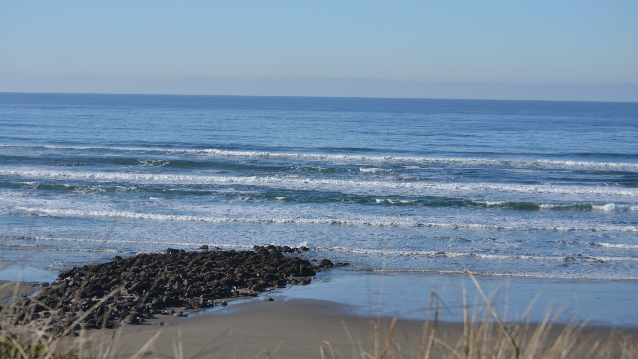
Then swing over to the Historic Bayfront on Yaquina Bay. This is where king tides get sneaky: instead of crashing, the water quietly climbs the pilings and docks until the whole bay looks overfilled.
It’s also prime territory for project photos. Fixed objects like pilings and seawalls make it easy to see just how high the water got.

How to turn your king tide photos into real science
The Oregon King Tides Project started about 15 years ago as a partnership between the state’s Oregon Coastal Management Program and the nonprofit Oregon Shores. Volunteers document how far the highest tides push into towns, roads, beaches and estuaries, and coastal planners use those images to prepare for rising seas.
The way organizers frame it, you’re looking at a preview of what an everyday high tide could become. Kind of a wild thing to stand there and watch, right?
Joining in is simple:
- Take your shot when the tide is at its highest point.
- Frame it around something fixed, like a piling, seawall or bridge support.
- Note the location, the date and which direction you were facing.
- If you can, come back during a normal high tide and take a matching shot from the same spot.
Upload your photos through the project’s website at oregonkingtides.net or its Flickr group. There’s an optional volunteer webinar with safety tips, plus a yearly photo contest with prizes in four categories.
🏨 Need a place to crash nearby?
From rustic cabins to boutique inns—check prices and availability in just a click.
Before you head out
Not every king tide brings giant surf, but when it does, the beach is not the place to be. Watch from elevated viewpoints, skip cove beaches and driftwood logs, and read the Oregon Coast Visitors Association’s beach safety tips before you go.
Check NOAA’s tide predictions for exact local high-tide times. One heads-up for tide poolers: this season’s matching low tides fall at night, so save the tide pool trip for another weekend.
Trip tips: grab a rental car to get out to the coast, lock in your hotel before the holiday rooms are gone, or skip both and book a camper van instead.
So which round are you aiming for: Thanksgiving week, the days around Christmas, or January? Tell us where you’re planning to watch from!