The shortcut to Oregon’s Secret Beach closed this summer, here’s how to reach it now
The gravel pullout that sent thousands of hikers down to Oregon’s Secret Beach every summer is gone. It closed to parking for good on June 22, and the old directions floating around the internet don’t work anymore.
The beach itself hasn’t moved an inch. You just need a different plan to reach it, and it’s a short one.
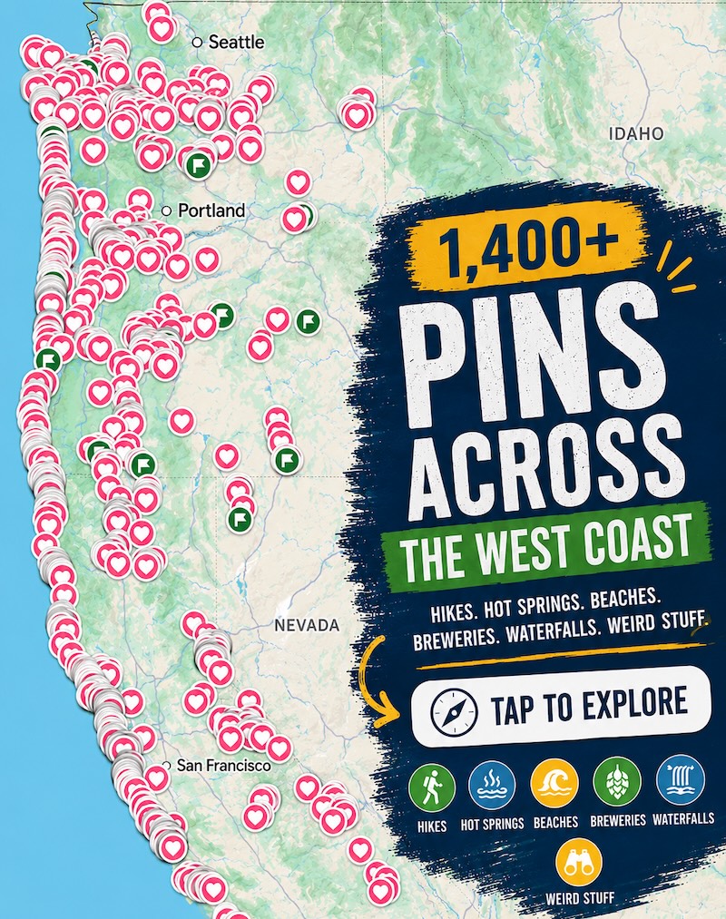
Psst — we made you a West Coast Adventure Map. Nearly 1,900 of our favorite spots, already pinned, ready to load into Google Maps in two clicks — grab it here.
What makes Secret Beach worth the detour
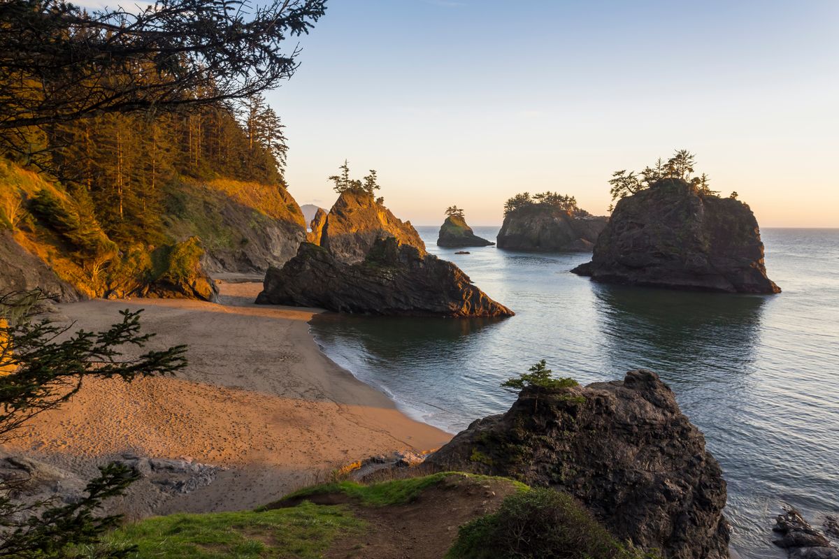
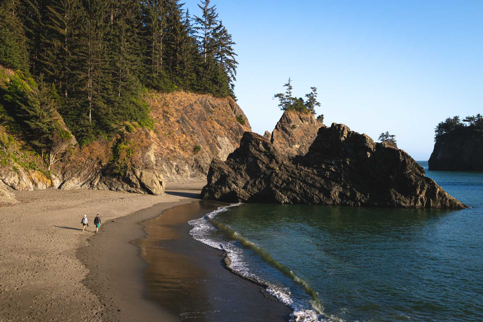
Secret Beach earns its name honestly. The cove sits invisible from Highway 101, boxed in by sea stacks that keep the crowd thinner than almost anywhere else in the Samuel H. Boardman State Scenic Corridor.
A short waterfall on Miner Creek spills straight onto the sand here, which isn’t something you get at most Oregon Coast beaches. This is one of the best coves on the whole South Coast for how little effort it takes to reach it.
📍 GET THE ULTIMATE PNW MAP 🗺️
Get our curated list of the best adventures, things to do, and places to grab a brew loaded onto your maps with just two clicks!
✅ Waterfalls ✅ Hikes ✅ Viewpoints
✅ Craft breweries ✅ National Parks ✅ 1400+ Pins


The hike, in real numbers
Secret Beach Trail runs 2.4 miles round trip with about 508 feet of elevation gain, rated moderate rather than easy. A few sections drop steeply enough that ropes are bolted in to help you down, so this isn’t a flip-flops kind of walk.
The beach only fully opens up at low tide, and a rising tide can trap you against the cliffs on this stretch of coast. Check a tide chart before you go, not after you’re already down there.
Why the parking just changed
For years, the fastest way in was an unofficial gravel turnout at milepost 345.4, and it wasn’t built to handle the traffic it got. Oregon’s transportation and parks departments closed it on June 22, pointing to cars pulling on and off a 55 mph highway, pavement damage, and erosion from years of overuse.
Crews are extending a guardrail and adding no-parking signs on both sides of the highway to keep it that way.
Where to park now
Oregon State Parks maintains four legal, fee-free trailheads within a mile of the old pullout. Thunder Rock Cove, at milepost 345.8, sits closest, about four-tenths of a mile south of where the gravel turnout used to be.
Arch Rock (344.8), Spruce Island (345.0), and Natural Bridges (346) all connect into the same trail network if your first stop is full. Officials say to just move on to the next lot rather than parking on the shoulder.
Getting there and what it costs
Secret Beach sits inside the 12-mile Samuel H. Boardman State Scenic Corridor on Highway 101, roughly midway between Brookings and Gold Beach. The corridor is open for day use year-round with no parking fee at any of its trailheads.
March through October is the easiest window, when the trail runs driest and low tides are simplest to time. For more stops along this stretch of coast, we rounded up 13 more of them from Bandon to Brookings.
Trip tips: grab a rental car to make the Highway 101 drive easy, or lock in a hotel in Brookings or Gold Beach if you’re turning this into a South Coast weekend.
Rules and fees change — always confirm current requirements before you go.
Did you ever use the old pullout, or did you already know about Thunder Rock Cove? Either way, the beach that made this stretch of Highway 101 famous hasn’t changed at all.