Bandon’s sea stacks look best from the sand, and one 0.9-mile loop gets you down there
The Bandon Beach overlook gets all the photos, but the overlook is basically the movie trailer. The real film plays down on the sand, where the sea stacks stop being a backdrop and start towering over your head.
My plain opinion: if you only stand at the railing, you’re getting about a third of Bandon. The easiest way to fix that is a short loop at Coquille Point.
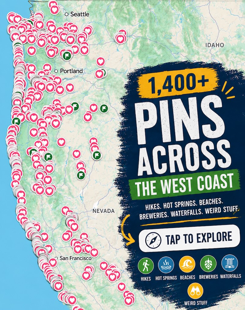
Psst, we made you a West Coast Adventure Map. Nearly 1,900 of our favorite spots, already pinned, ready to load into Google Maps in two clicks: grab it here.
The Coquille Point loop, start to finish
Coquille Point sits inside the Oregon Islands National Wildlife Refuge, which protects 1,853 rocky islands along the coast. It’s one of only two refuge sites open to the public without a permit, and the loop is about 0.9 miles with roughly 85 feet of climbing. Easy, in other words.
You start on a paved path out to the tip of the point, past interpretive signs and a puffin sculpture made from marine debris. From there the path follows the bluff north through a thicket of shore pines to the end of 8th Street, where a stairway drops you onto the beach.
Then you walk south along the sand and round the point through a couple of narrow notches. A stairway near a viewing gazebo carries you back up the bluff to close the loop.

📍 GET THE ULTIMATE PNW MAP 🗺️
Get our curated list of the best adventures, things to do, and places to grab a brew loaded onto your maps with just two clicks!
✅ Waterfalls ✅ Hikes ✅ Viewpoints
✅ Craft breweries ✅ National Parks ✅ 1400+ Pins


The one rule: respect the tide
The beach half of this loop is a low-tide walk, full stop. Oregon Hikers warns that getting around Coquille Point and nearby Grave Point can be difficult for an hour before and after high tide, and the notches sometimes involve a scramble over driftwood piles.
Pull up the tide table for Bandon on the NOAA tides and currents site before you leave the car. Fog can also roll in fast out here, so give yourself a margin and don’t linger once the water starts creeping back.
Keep walking and the rocks start showing off
If the tide is still low when you finish the loop, keep heading south. Table Rock hosts nesting seabirds, Elephant Rock has a sea arch you can pick out, and Komax looks a lot like a sea lion hauled out on the sand.
Cat and Kittens Rocks sit farther offshore, and then you reach Grave Point, where Face Rock stands just out in the surf with its own tunnel and sea cave. A stairway on the south side of Grave Point climbs to the Face Rock viewpoint, so you can bail out there if the tide says it’s time.

When to come back
The refuge is open to the public year-round, so a cool-weather visit works fine. Come back in spring if you want birds: tufted puffins nest on some of the offshore islets, and murres and puffins use the grassy tops of the rocks.
Heading farther down the Southern Oregon coast afterward? Our guide to Samuel H. Boardman’s best stops is the natural next chapter. Which sea stack would you walk to first?
Trip tips: grab a rental car to get out here, lock in your hotel before the good rooms are gone, or skip both and book a camper van instead.