Upper Table Rock stays open all winter, and the 2.5-mile hike to its rim costs nothing
Most of Oregon’s best viewpoints go dark when the snow hits. Upper Table Rock near Medford does the opposite: it’s open year-round, it’s free, and a winter morning up top might be the best time to stand there.
The mesa rises out of the Rogue Valley like a flat-topped fortress, and the payoff is a rim with sweeping views of the Siskiyou and Cascade ranges. The hike is short enough to squeeze in before lunch.
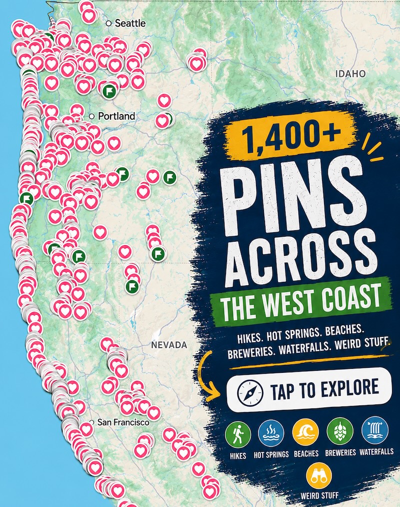
Psst, we made you a West Coast Adventure Map. Nearly 1,900 of our favorite spots, already pinned, ready to load into Google Maps in two clicks: grab it here.

The hike up Upper Table Rock
The Bureau of Land Management lists the Upper Table Rock Trail at 2.5 miles round trip. You’ll climb roughly 720 feet to a plateau just over 2,000 feet above sea level, which is enough to get your heart going without wrecking your afternoon.
The trail is loose and rocky in spots, so sturdy shoes are worth it. Up top, a mile-long loop wanders across the plateau, and the rim makes a perfect picnic perch.
The trailhead sits off Modoc Road, about 1.5 miles from the turn. From I-5 exit 33 at Central Point, head east, take Table Rock Road, and look for Modoc Road on your right.
📍 GET THE ULTIMATE PNW MAP 🗺️
Get our curated list of the best adventures, things to do, and places to grab a brew loaded onto your maps with just two clicks!
✅ Waterfalls ✅ Hikes ✅ Viewpoints
✅ Craft breweries ✅ National Parks ✅ 1400+ Pins


What winter actually feels like up there
Here’s my honest opinion: skip the summer crowds and come now. Black oak woods, quiet trails, and big open sky beat a hot July scramble every time.
The BLM warns that winter trails can turn muddy, icy and slippery, so check conditions before you go and take it slow on the rocky stretches. There’s no drinking water and no trash cans at the trailhead, so pack water and pack out everything you bring.
Dogs aren’t allowed on the trails. Restrooms are at the trailhead, and cell service is limited, so download your map before you leave town.
Want more? Hit Lower Table Rock next door
Lower Table Rock is the shadier, woodsier sibling, and it climbs about 780 feet to a rim at roughly 2,094 feet. Its plateau has a southern viewpoint over the Rogue River, and you’ll cross an old dirt airstrip that was built in 1948.

Long before hikers showed up, the Takelma people foraged on these rocks for roots, berries and acorns. It adds a little weight to the view, doesn’t it?
Which would you pick: the shorter Upper climb or the longer Lower wander? Tell us in the comments.
Trip tips: grab a rental car to get out here, lock in your hotel before the good rooms are gone, or skip both and book a camper van instead.
Rules and fees change, so always confirm current requirements before you go.