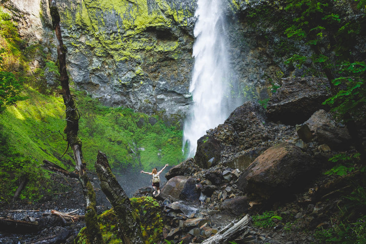
This Columbia River Gorge trailhead leads to two waterfalls, but the bridge to one of them washed out years ago
Most Gorge waterfalls make you pick one and drive home. This trailhead hands you two — Elowah Falls and Upper McCord Creek Falls — off the exact same parking lot, with a fraction of the crowd you’ll find at Multnomah twenty minutes up the highway.
There’s a catch worth knowing before you lace up: a 2021 landslide destroyed the footbridge at the base of Elowah Falls, and it’s still gone. You can still make the hike work — you just need a plan for it.
Psst — we made you a West Coast Adventure Map. Nearly 1,900 of our favorite spots, already pinned, ready to load into Google Maps in two clicks — grab it here.
Two waterfalls, one trailhead, zero crowds
The John B. Yeon trailhead sits right off I-84 between Portland and Cascade Locks, about 35 minutes east of downtown. Wahclella Falls gets the bigger crowd a few exits down; this one barely gets a mention, which is exactly the appeal.
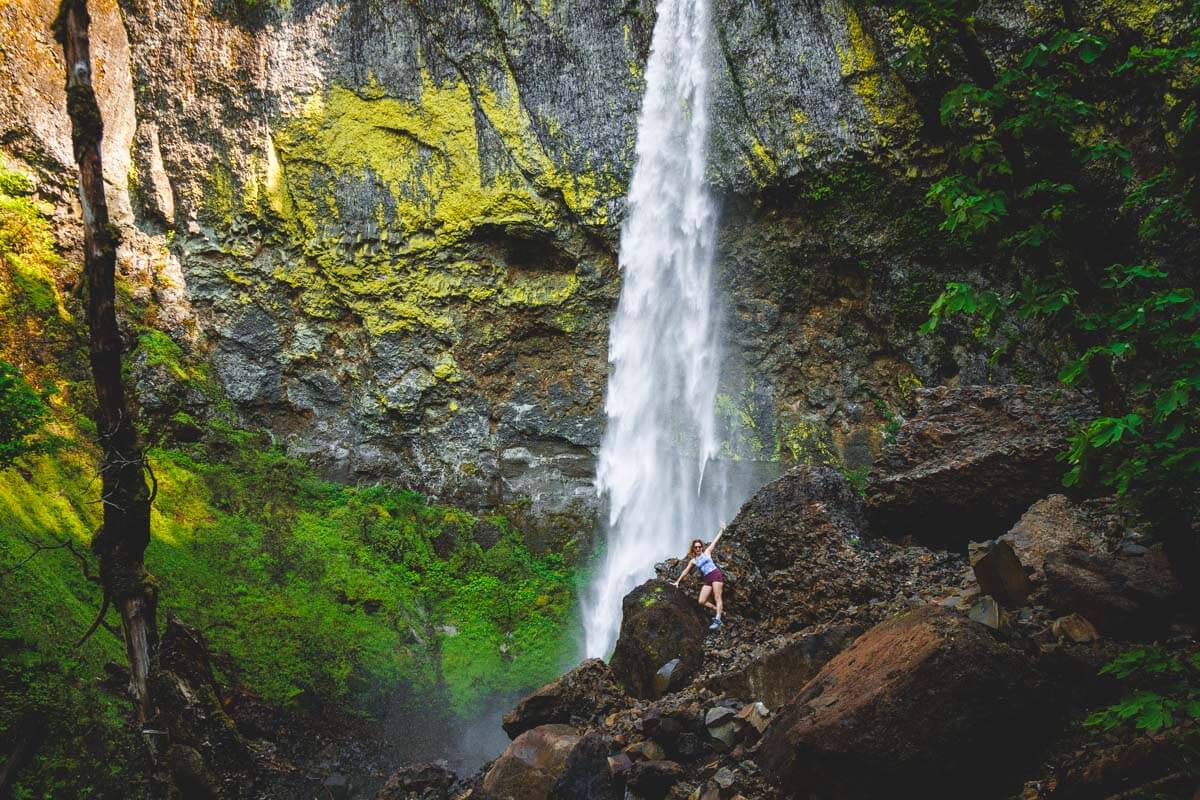
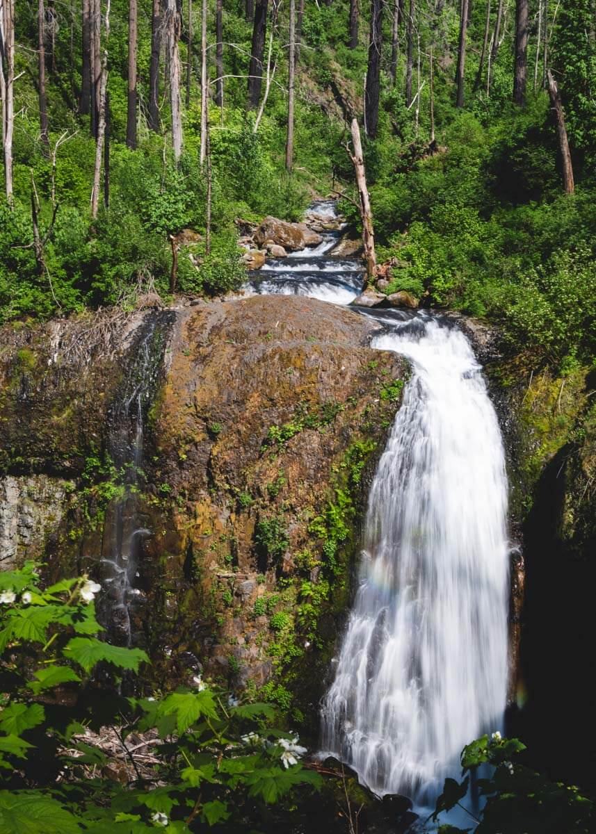
Elowah Falls drops 213 feet in a single, uninterrupted plunge into a basalt amphitheater coated in bright green lichen. Upper McCord Creek Falls, reached from a different fork off the same lot, delivers a bonus view down over both falls and across the Columbia toward Mount Adams.
📍 GET THE ULTIMATE PNW MAP 🗺️
Get our curated list of the best adventures, things to do, and places to grab a brew loaded onto your maps with just two clicks!
✅ Waterfalls ✅ Hikes ✅ Viewpoints
✅ Craft breweries ✅ National Parks ✅ 1400+ Pins


The bridge that’s still out
Here’s the part most quick trail write-ups skip: the footbridge that used to carry hikers across McCord Creek to the base of Elowah Falls was wiped out by a landslide in 2021, and it hasn’t been rebuilt. Oregon Hikers’ field guide still flags the crossing as of this year — passable when the creek runs low, but a real ford, not a bridge.
If wading near the base of a 213-foot waterfall isn’t your idea of fun, skip that crossing entirely. The trail up to Upper McCord Creek Falls forks off before the water and never touches it, and it still gets you a clean view of both falls from above.
The hike, in real numbers
Elowah Falls alone runs 1.5 miles round trip with about 260 feet of elevation gain, rated moderate mostly because of that creek crossing at the end.
Upper McCord Creek Falls is the longer leg at 3.2 miles round trip and 600 feet of gain, with railed switchbacks cut into the cliff partway up. Hike both from the same lot and you’re looking at roughly 3 miles and 712 feet of climbing total.
Getting there
Heading east on I-84, take exit 35 (Ainsworth), then follow the frontage road about 2 miles to the trailhead. Headed west, take exit 37 (Warrendale) and backtrack a short stretch on the frontage road instead.
Oregon State Parks runs the lot, and parking is free — no Forest Pass, no day-use fee required. The catch is size: it holds roughly a dozen cars, and it’s full by mid-morning most summer weekends.
We’ve hiked this trailhead more than once, landslide crossing included — here’s the full breakdown if you want turn-by-turn detail before you go.
Trip tips: grab a rental car to make the frontage-road drive easy, or lock in a hotel in Portland or Hood River if you’re turning this into a bigger Gorge weekend.
Rules and fees change — always confirm current requirements before you go.
Have you made the crossing to Elowah Falls since the bridge went out, or have you only done the dry route up top?