
This 3-mile Oregon trail packs 300 wildflower species into one steep afternoon
Three miles doesn’t sound like much until you’re staring down 1,318 feet of climbing with wildflowers demanding a photo stop every twenty feet. That’s Iron Mountain, a trail so packed with botanical diversity that the Forest Service set the whole mountain aside just to protect it.
—
Psst — we made you a West Coast Adventure Map. Nearly 1,900 of our favorite spots, already pinned, ready to load into Google Maps in two clicks — grab it here.
—
More than 300 species of flowering plants grow across 18 different plant communities on this one peak in the Willamette National Forest’s Sweet Home Ranger District. You’ll pass through open meadows, alpine forest, and rocky outcrops before the trail dead-ends at bare volcanic rock near the summit, and somehow every zone has its own flowers doing their own thing.
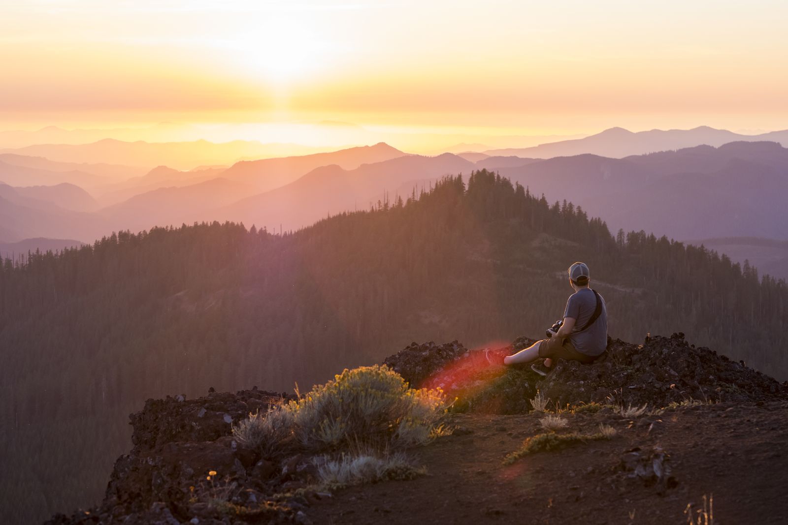
Picture switchbacks cutting through waist-high meadow color, old-growth firs throwing shade over the lower slopes, and then the trees just stop and hand you a wall of volcanic rock and sky. It’s a strange, good kind of whiplash for a hike this short.
Timing actually matters here. Snowmelt species like steer’s head and glacier lilies show up first in June, and the mountain’s five species of penstemon, including the red rock penstemon that gives the meadows their signature color, peak in early July. Miss that exact week and you haven’t missed the season, just the loudest part of it, since blooms keep cycling through the meadows well into summer.
AllTrails rates the standard route up Iron Mountain hard, which feels like a stretch for three miles until you’re actually on the switchbacks. There’s a shorter option too: park at the Civil Road trailhead instead of the Deer Creek one, and you’ll cover well under a mile to reach the same summit. My take: skip the shortcut unless you’re pressed for time, because the longer route’s shade is worth the extra distance once the afternoon heats up.
Either way you end up at the same reward: a wooden viewing platform built right into the summit rock, with sightlines toward Mount Hood, Mount Jefferson, and the Three Sisters on a clear day. Bring your own water, since there’s none on the trail, and don’t expect cell signal once you’re past the parking lot.
Both trailheads sit off Highway 20 east of Sweet Home, between the small towns of Cascadia and Santiam Pass. The Deer Creek trailhead is roughly 34 miles out from Sweet Home, and the Civil Road turnoff comes a couple miles before that, so it’s an easy add-on if you’re already headed toward Central Oregon on Highway 20.
Want more meadow time? The Cone Peak Trail connects to Iron Mountain and turns the hike into a 6.5-mile loop with nearly 2,000 feet of climbing, tracing even more of the wildflower habitat lower on the mountain.
Every trailhead here, Deer Creek and Civil Road both, is a fee site that requires a valid recreation pass just to park. Grab a Northwest Forest Pass before you go, since it’s the cheapest way to cover a day-use trailhead like this one — and if you want the full rundown on which pass covers which Oregon parking fee, our Trillium Lake breakdown covers it.
This is proof that Oregon’s best wildflower show doesn’t require a wilderness permit or a ten-mile slog, just a steep three miles and a little luck with timing. Worth building an afternoon around, isn’t it?
Trip tips: grab a rental car to reach the trailhead, or lock in a hotel nearby if you’re turning this into a longer Cascades loop.
Rules and fees change — always confirm current requirements before you go.