These Columbia Gorge tunnels were buried under rubble for decades, and now a paved trail runs straight through them
Most people drive right past this one on I-84, eyes on the river, never knowing a rubble-filled secret sits in the cliffs above them. For decades, the old Columbia River Highway tunnels near Mosier were sealed shut and buried. Now they’re the best car-free stretch in the Gorge.
Here’s the short version: the Twin Tunnels section of the Historic Columbia River Highway State Trail is more than four paved miles between Hood River and Mosier, open to walkers, cyclists and wheelchairs, with Columbia River views nearly the whole way.
Psst — we made you a West Coast Adventure Map. Nearly 1,900 of our favorite spots, already pinned, ready to load into Google Maps in two clicks — grab it here.
The tunnels that came back from the dead
When I-84 opened in 1954, the Mosier Twin Tunnels were filled with rubble and left behind. They were reopened decades later and restored for people on foot and on bikes, which means you can now stroll through a piece of 1920s highway engineering with no traffic in sight.
Look for the openings cut into the tunnel walls. They frame the river like windows, and they’re the reason this stretch looks so good in photos.
📍 GET THE ULTIMATE PNW MAP 🗺️
Get our curated list of the best adventures, things to do, and places to grab a brew loaded onto your maps with just two clicks!
✅ Waterfalls ✅ Hikes ✅ Viewpoints
✅ Craft breweries ✅ National Parks ✅ 1400+ Pins


What the trail is actually like
Plan on about 8.8 miles round trip if you go the full distance and turn around, with roughly 784 feet of elevation gain. It’s rated easy to moderate, so you’ll feel the rolling climbs but nothing here is brutal.
The surface is wide, smooth pavement the entire way. That’s a big deal after a rainy week, when dirt trails turn to soup and this one stays clean and dry-footed.
Dogs are welcome on a leash, and the path is shared with cyclists. Expect company on a nice weekend, and expect to like it.
Pick your trailhead
There are trailheads at both ends, named for Senator Mark O. Hatfield, who championed the restoration. Park at either one and walk toward the middle, or shuttle a bike to the other side if you’d rather coast part of it.
Both trailheads require an Oregon State Parks day-use permit, so sort that out before you roll in. Hood River makes an easy home base, and our guide to things to do in Hood River covers where to refuel afterward.
The tunnel next door that just reopened
Farther west, the Mitchell Point Tunnel opened in March 2025. It’s a 655-foot tunnel with arched windows, built to echo the original that closed in 1953 and was torn down by 1966.
It’s part of a 1.5-mile stretch, and the state is still working to close a 0.7-mile gap between Viento State Park and Mitchell Point. That construction is slated to run through 2026, so check the Oregon Department of Transportation trail page for the latest before you plan a through-trip.
My take: go in fall
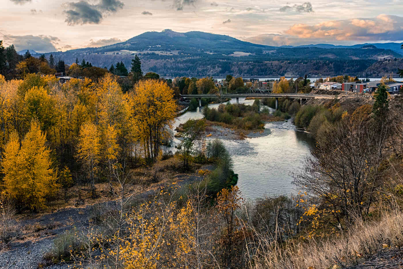
Here’s my plain opinion: October is the right month for this trail. The orchard country around Hood River turns gold, the paved path stays mud-free, and the long river views get a lot more dramatic when the light slants low.
Start in the morning, pack a layer for the wind, and give yourself time to stop at every window in the rock. Which end would you start from?
Trip tips: grab a rental car to get out here, and lock in your hotel before the good rooms are gone.
Rules and fees change — always confirm current requirements before you go.