Jefferson Park was cut off by wildfire for eight years, and the meadows inside never burned
Mount Jefferson has basically been hiding from Oregon hikers since 2017. Back-to-back wildfires burned through the shortest route in, and the trail didn’t fully reopen until 2025 — eight years is a long time to lock up one of the state’s best alpine meadows.
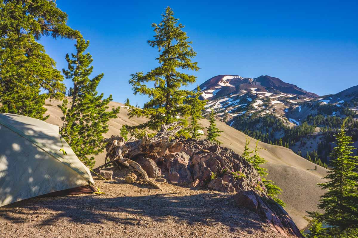
Here’s the part that actually matters if you’ve been waiting on this one: the fires burned right up to Jefferson Park’s edge and stopped there. The lakes, the wildflower meadows, the glacier looming over all of it — untouched. What you’re walking through to reach it looks nothing like it did a decade ago, but the payoff at the end hasn’t changed at all.
Psst — we made you a West Coast Adventure Map. Nearly 1,900 of our favorite spots, already pinned, ready to load into Google Maps in two clicks — grab it here.
The hike burns first, then it doesn’t
The shortest way in is the Whitewater Trail (#3429), starting at the Whitewater Trailhead southeast of Detroit. Plan on roughly 11 miles round trip to reach Scout Lake, the closest lake in Jefferson Park, with about 1,800 feet of climbing — push on to Russell Lake and that stretches to around 11.6 miles and 2,100 feet.
The first 4.2 miles cross the old Whitewater and Lionshead burn scars: blackened snags, beargrass and huckleberry clawing their way back, and some of the most continuous views of Mount Jefferson you’ll get on any trail in the state. There’s essentially no shade out here, so this isn’t the stretch to attempt at 2 p.m. in August.
Whitewater Creek crosses the trail with no bridge around mile 4 — small in summer, but plan on wet feet — and a second crossing about a mile later has a proper footbridge. After that, the burn falls away, the forest closes back in, and you walk straight into meadows that never saw fire at all.
📍 GET THE ULTIMATE PNW MAP 🗺️
Get our curated list of the best adventures, things to do, and places to grab a brew loaded onto your maps with just two clicks!
✅ Waterfalls ✅ Hikes ✅ Viewpoints
✅ Craft breweries ✅ National Parks ✅ 1400+ Pins


You need a permit, even for the day
This is the part people skip and regret: the Whitewater Trailhead requires a Central Cascades Wilderness Permit for both day hikes and overnight trips, every single day from June 15 through October 15. You can’t buy one at the trailhead — it has to be reserved through Recreation.gov ahead of time.
Day-use permits run $1 per person, and overnight permits run $6 per group of up to 12 people. About 40% of day-use slots open 10 days out, and the rest release 2 days before your hike, so check availability now if you’re eyeing a trip in the next week or two.
You’ll also need $5 cash or a valid recreation pass just to park at the trailhead. A Northwest Forest Pass covers it.
What you’re actually walking into
Jefferson Park is a loose scatter of tarns spread across an alpine plateau at the mountain’s northern base: Scout Lake, Bays Lake, Rock Lake, and Russell Lake about 0.8 miles further along the Pacific Crest Trail. Scout Lake’s north shore has the view everyone’s phone ends up pointed at, with the mountain rising directly over the water.
If you only have time for one lake, skip the crowd at Scout and keep walking to Russell instead — fewer people bother going the extra distance, and it’s worth it.
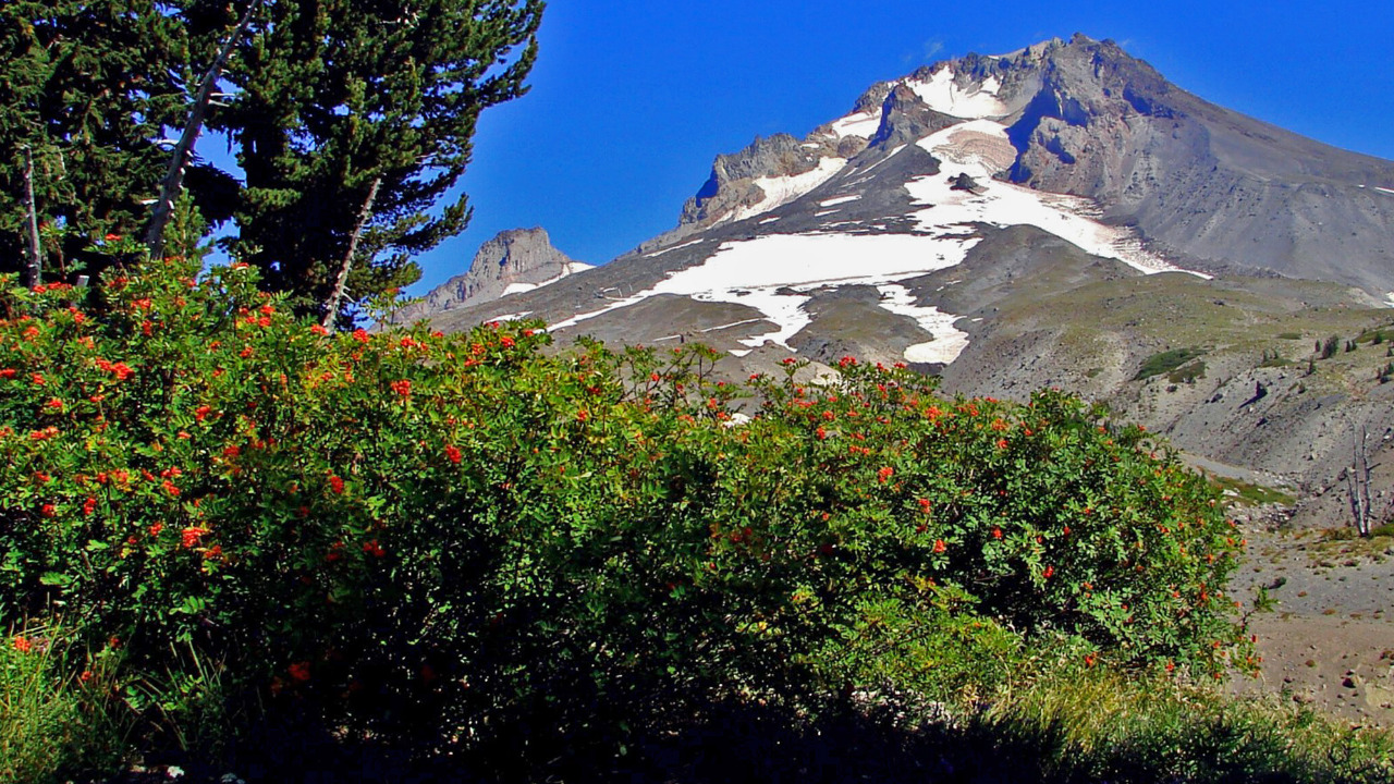
Peak wildflower season hits in July, which unfortunately overlaps almost exactly with peak mosquito season. Bring more bug spray than you think you’ll need. You won’t regret the extra weight.
Campfires are banned throughout Jefferson Park (stoves are fine), and if you’re camping within 250 feet of any of the lakes, you’re required to use a designated site. Group size tops out at 12 people.
Trip tips: grab a rental car to get out here, book a hotel near Detroit or Salem the night before, or skip both and rent a camper van to basecamp at Detroit Lake before an early trailhead start.
Rules and fees change — always confirm current requirements before you go.