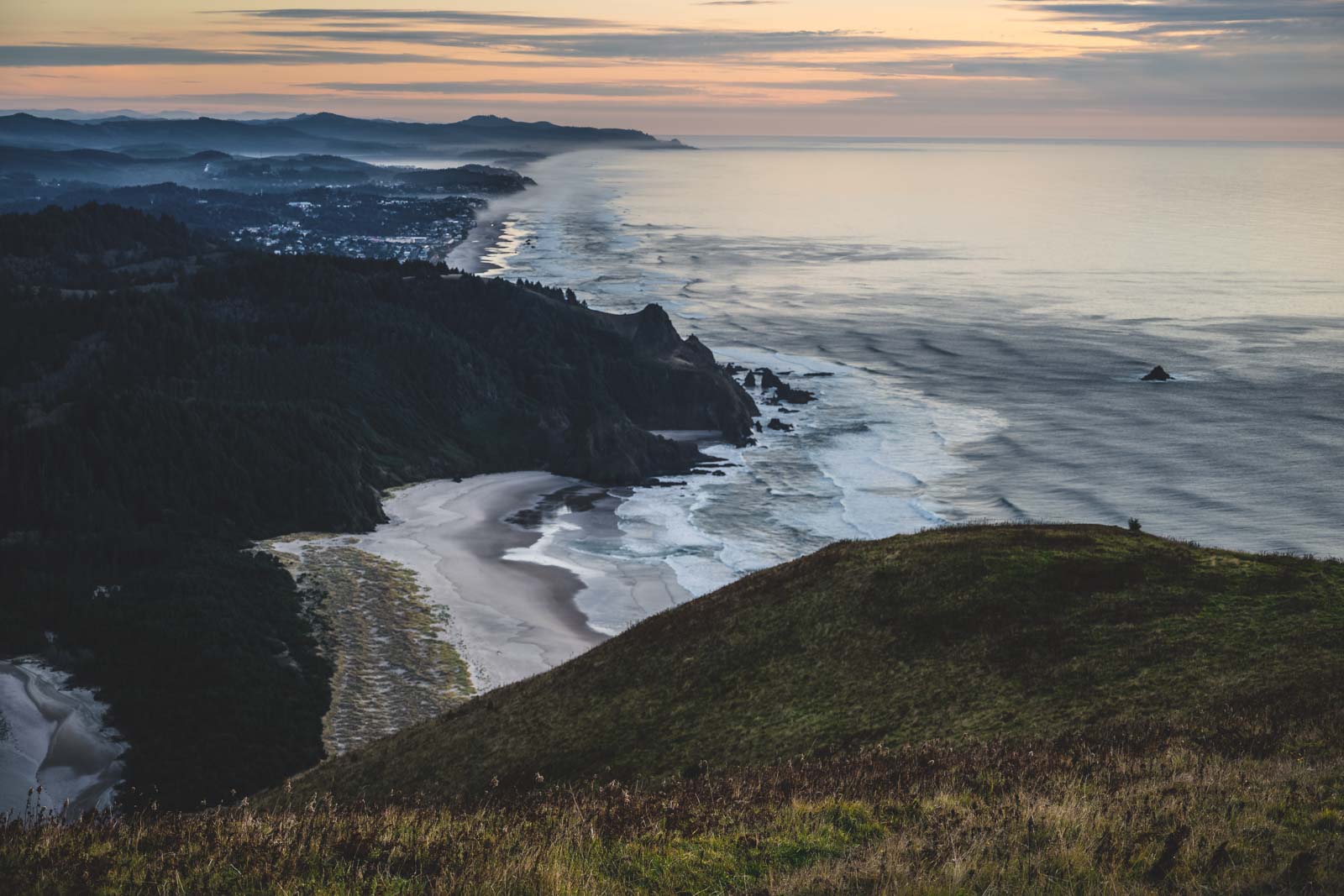
Cascade Head’s summit trail is open again, but there’s no shortcut to it until at least 2028
Cascade Head’s upper trail reopened a few weeks ago, right on schedule after its annual winter closure. What didn’t come back is the shortcut to get there.
A 2021 landslide wiped out the road to the upper trailhead, and Forest Service closure orders keep vehicles off it through at least 2028. The viewpoint is still up there — you just have to earn it the long way now.
Psst — we made you a West Coast Adventure Map. Nearly 1,900 of our favorite spots, already pinned, ready to load into Google Maps in two clicks — grab it here.
A headland that’s protecting more than the view
Cascade Head is a 270-acre Nature Conservancy preserve on the Oregon Coast near Lincoln City, and it’s not just scenic — it’s one of the last strongholds for the threatened Oregon silverspot butterfly. Ninety-nine percent of the entire global population of the Cascade Head catchfly, a wildflower that grows nowhere else on Earth, lives on this one bluff.
Leave the dog at home. Pets aren’t allowed anywhere on the preserve, and even a leashed dog’s scent is enough to disturb the wildlife TNC is trying to protect.
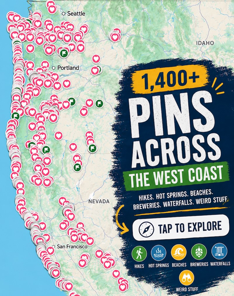
📍 GET THE ULTIMATE PNW MAP 🗺️
Get our curated list of the best adventures, things to do, and places to grab a brew loaded onto your maps with just two clicks!
✅ Waterfalls ✅ Hikes ✅ Viewpoints
✅ Craft breweries ✅ National Parks ✅ 1400+ Pins


The hike, in real numbers
The Lower Nature Conservancy Trail starts at Knight County Park and runs 4.9 miles round trip with about 1,240 feet of elevation gain to the lower viewpoint. It’s moderate, and it’s the one part of this hike that’s never closed.
Keep going past the lower viewpoint and you can still reach the upper viewpoint too — the full out-and-back just runs longer now, at 6.8 miles round trip and roughly 1,371 feet of gain. That’s the only way in until the road reopens.
Why the summit got harder to reach
The upper trail closes every year from January 1 through July 15 to protect nesting wildlife on the headland, then reopens July 16 like clockwork. It just did, two weeks before this went live.
The separate problem is the access road, Forest Service Road 1861, which a landslide tore up in three places back in November 2021. Current closure orders keep vehicles off that road through 2028, so the mile-long shortcut from the top trailhead isn’t coming back anytime soon.
Getting there
Head north from Lincoln City on Highway 101, turn west on Three Rocks Road, and follow it about 2 miles to Knight Park — that’s the only trailhead in play right now. Parking is free, with no forest pass or day-use fee required.
There’s no water or restrooms past the trailhead, and the first stretch of trail crosses a narrow road a few times before climbing into spruce and hemlock forest. Watch for cars as much as roots.
Trip tips: grab a rental car to make the coastal drive easy, lock in a hotel in Lincoln City for the night, or skip both and book a camper van instead.
Rules and fees change — always confirm current requirements before you go.
Worth the extra three miles for the summit view, or does the lower viewpoint scratch the itch just fine?