
Cape Perpetua packs a roaring sea chasm, a 70-mile view and a 500-year-old spruce into one stop
Most people treat Cape Perpetua as a quick pullout on Highway 101. That’s a mistake, because this one scenic area stacks a thundering sea chasm, a lookout with roughly 70 miles of coastline, and an ancient spruce within a few miles of each other. If you only have one stop to spare near Yachats, this is the one.
It sits in the Siuslaw National Forest, just south of Yachats, and the viewpoints and trails stay open year-round. Come for the waves, stay for the forest.
Psst, we made you a West Coast Adventure Map. Nearly 1,900 of our favorite spots, already pinned, ready to load into Google Maps in two clicks: grab it here.
Watch the ocean lose an argument with the rocks
Devil’s Churn is a narrow chasm about a half mile north of the visitor center, where waves funnel into a roughly 30-foot inlet and blast upward. Steep stairs switchback down toward the lava rock, and there’s an overlook above if you’d rather stay dry.
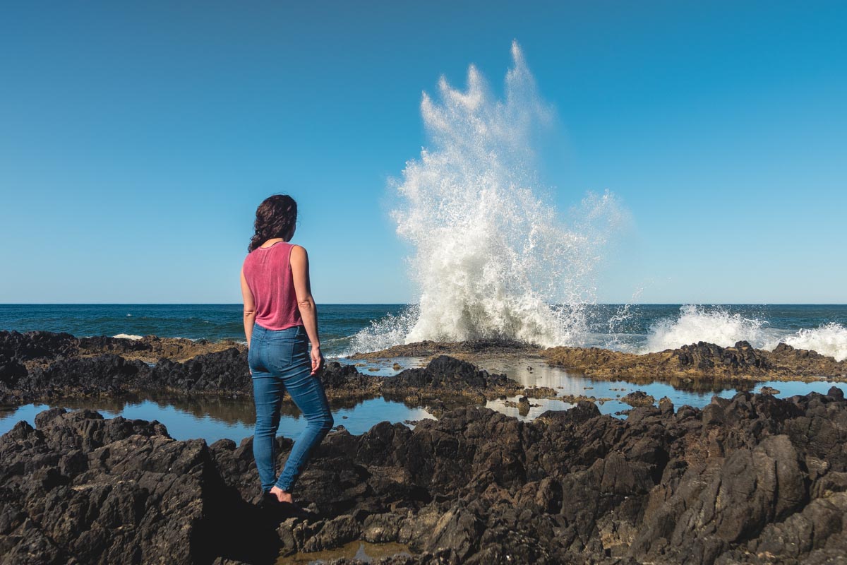
A short drive south, Cooks Chasm is a fissure roughly 400 feet long and 60 feet wide, and Highway 101 crosses it on a concrete arch bridge. At high tide, a geyser-like spouting horn shoots water out of a sea cave below.

My pick: time your visit for high tide, because that’s when both spots put on their best show. Ocean edges are no place to push your luck, so stay back from the rocks and check the Forest Service and Oregon State Parks for current coastal safety guidance before you go.
📍 GET THE ULTIMATE PNW MAP 🗺️
Get our curated list of the best adventures, things to do, and places to grab a brew loaded onto your maps with just two clicks!
✅ Waterfalls ✅ Hikes ✅ Viewpoints
✅ Craft breweries ✅ National Parks ✅ 1400+ Pins


Earn the big view on the St. Perpetua Trail
The St. Perpetua National Recreation Trail is 2.8 miles round trip from the visitor center, and the Forest Service rates it difficult. Expect switchbacks through old-growth forest, the kind where the trees do the talking and you do the breathing.

At the top, the overlook reaches nearly 40 miles out to sea and about 70 miles of coastline on a clear day. Want more? Continue along the Whispering Spruce Trail to a rock viewing shelter built in 1934 by the Civilian Conservation Corps.

Meet a spruce older than the state
The Giant Spruce Trail follows Cape Creek for about 2 miles round trip to a Sitka spruce more than 500 years old. It’s roughly 15 feet across, which makes everyone who stands next to it look like a garden gnome.
Pair it with the climb and the chasms and you’ve got a full day on one headland. Pack layers, because the coast has opinions about the weather.
Trip tips: grab a rental car to get out here, lock in your hotel before the good rooms are gone, or skip both and book a camper van instead.
Day use here runs $5 per vehicle, or you can show a valid recreation pass.
Rules and fees change, so always confirm current requirements before you go.
Would you take the big climb first or chase the chasm at high tide? Tell us in the comments which one you’d pick.