
Bend has a volcano inside its city limits, and the summit road closes for the season next month
Bend has an actual volcano sitting inside its city limits, not a metaphor, a real extinct cinder cone with a paved road running straight to the summit. Only a handful of U.S. cities can make that claim — Portland has Mount Tabor, Honolulu has Diamond Head, and Jackson, Mississippi has one buried under downtown.
Pilot Butte is Bend’s version, and it sits close enough to downtown that you could walk there from a coffee shop. The butte rises about 500 feet above the surrounding high desert, topping out at 4,138 feet above sea level.
It formed when the cinder cone erupted roughly 200,000 years ago, sending lava out across hundreds of city blocks worth of ground before younger flows from Newberry Volcano buried most of the evidence to the south. That same volcanic system is still cooling off south of town today.
Wagon-train immigrants crossing the high desert used Pilot Butte as a landmark to find a safe crossing of the Deschutes River, long before Bend existed as a town. Some early maps even labeled it Red Butte for its rust-colored rock, but Pilot Butte is the name that stuck.
Three ways lead to the top: two dirt trails and the paved summit road, all converging at a marker where you can pick out the peaks yourself or squint at the interpretive signage. AllTrails clocks the main trail at 1.8 miles round trip with 456 feet of elevation gain, a moderate hour or so out and back.
No permit required anywhere on it, which is more than you can say for half the trailheads around Bend this summer. Sunset’s the move here, when the Cascades go gold to the west while downtown spreads out below like a map you can actually read.
Here’s the actual deadline: the summit road is only open to vehicles from May 1 through September 30, 10 a.m. to dusk, so the drive-up option closes in exactly a month. Walk-up access to the trails stays open year-round, road or no road.
There’s no day-use fee at Pilot Butte, no forest pass and no state park pass required, genuinely free, which is rare for a view this good in Oregon. It’s the kind of stop that’s easy to justify even if you’ve already blown your permit budget on something else this week.
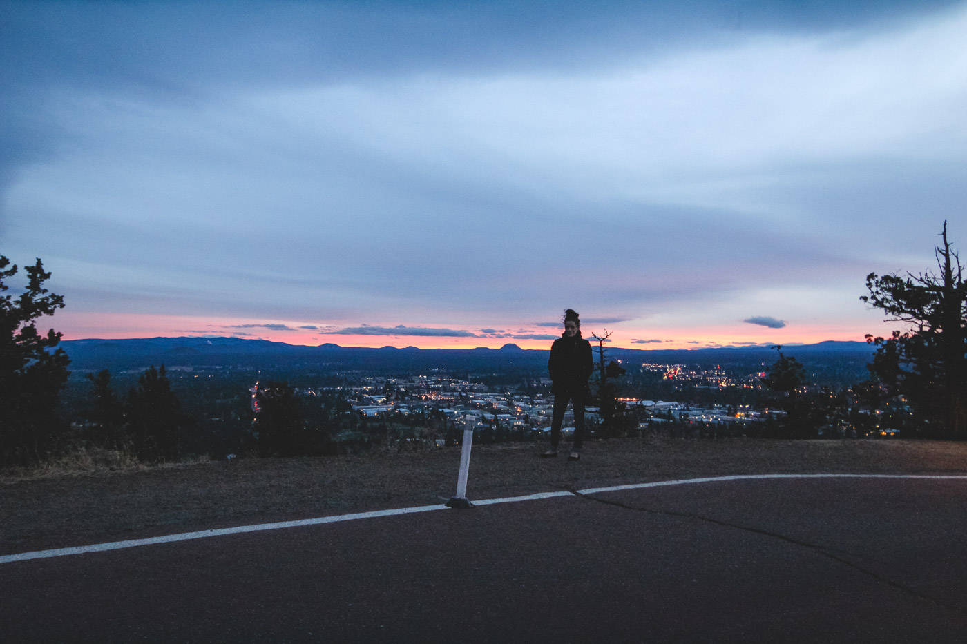
More than 750,000 people visit Pilot Butte in a given year, making it one of the most-visited state park sites east of the Cascades. We’ve stood at the summit ourselves watching the sun drop behind South Sister, and it’s still one of our favorite five-minute stops in Bend.
Newberry Volcano’s shield-shaped bulk fills the skyline to the south, and on a clear day Three Sisters, Mount Jefferson, Mount Hood and Black Butte line up to the west. The geodetic marker at the top has been helping people sort out which peak is which since long before anyone carried a phone up here to look it up.
The parking area sits right off US-20 on Bend’s east side, an easy detour whether you’re just arriving in town or passing through toward Central Oregon’s bigger hikes. Give it twenty minutes if you’re driving to the top, closer to an hour if you’d rather walk it.
Skip it in winter and you’re not missing much, the road’s gated and the dirt trail gets genuinely icy. Go now, while the gate’s still open and the light’s doing that late-summer thing over the Cascades. Which peak do you think you’ll spot first?
Rules and fees change — always confirm current requirements before you go.