
Angel’s Rest gains almost 1,500 feet in 2.3 miles, and the trail still carries scars from the 2017 wildfire that closed it
Some Columbia Gorge hikes ease you into the view. Angel’s Rest just makes you earn it — 1,492 feet of climbing packed into 2.3 miles one way, with almost none of it flat. Worth it? By the time the trail spits you out onto a bare basalt bluff, you’ll already know the answer.
The full round trip runs 4.7 miles and takes most hikers about 3 to 3.5 hours, and AllTrails rates it hard for a reason. It starts in dense forest at river level, just off the Historic Columbia River Highway near Bridal Veil, and climbs steadily from the first step.
—
Psst — we made you a West Coast Adventure Map. Nearly 1,900 of our favorite spots, already pinned, ready to load into Google Maps in two clicks — grab it here.
—
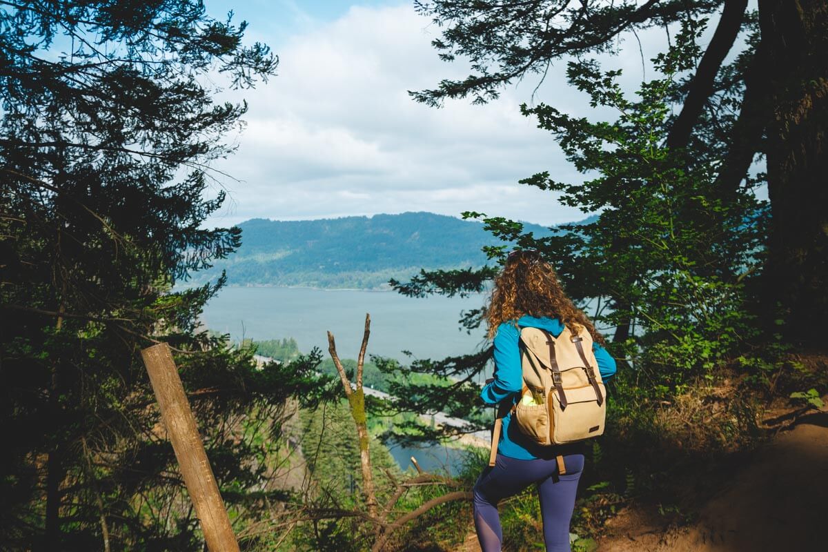
About 0.6 miles in, the trail crosses a footbridge near Coopey Falls, a roughly 150-foot horsetail waterfall that most hikers barely pause for — the real payoff is still ahead. From there, the switchbacks start in earnest.
The last stretch trades soft forest floor for rock and root, then opens onto a bald outcrop with a 270-degree view of the Gorge. Beacon Rock and Silver Star Mountain sit across the river in Washington, and on a clear day you can see well into north Portland.
That view almost didn’t survive. The Eagle Creek Fire started on September 2, 2017, burned nearly 50,000 acres, and damaged roughly 120 miles of Gorge trails, Angel’s Rest among them. It stayed closed for about a year while the Forest Service, Oregon State Parks, and volunteer groups like Trailkeepers of Oregon rebuilt the tread.
It’s not the trail’s first fire, either — an earlier blaze in the 1990s scarred the same slopes. You’ll still see burned trunks and recovering understory on the way up. The ground near the cliff edges is more prone to erosion and landslides because of it, so stick to the marked trail.

Angel’s Rest requires an Oregon State Parks day-use parking permit — $10 for residents, $12 for non-residents, or a $60 annual pass ($75 for non-residents) if you’re hitting multiple parks this year. It’s day-use only, open 6 a.m. to 10 p.m., with the closest restroom at the Bridal Veil Trailhead less than a mile west.
Parking is the real obstacle here, not the climb. Both lots at the trailhead fill by mid-morning most of spring and summer, so get there before 8:30 a.m. on weekends or plan a weekday hike instead.
If you’d rather skip parking altogether, a seasonal shuttle runs the Historic Highway corridor between Memorial Day and Labor Day, with stops near the Angel’s Rest trailhead and several others along the way. The Sasquatch Shuttle and the Waterfall Trolley both make the route — a solid backup when the lots are already full.
Hikers who want more can continue past the viewpoint on the Angel’s Rest to Devil’s Rest Loop, a 10.3-mile route with 3,159 feet of total gain that passes through old-growth forest few day hikers ever see. For most people, though, the out-and-back to Angel’s Rest is plenty — this is one Gorge hike where the short version is genuinely the better one.
Trip tips: grab a rental car to get out here from Portland, or lock in a hotel nearby if you’re making a weekend of Gorge waterfalls.
Rules and fees change — always confirm current requirements before you go.